Weather
1 Inch Of Snow In Forecast For Twin Cities Wednesday: MN Weather
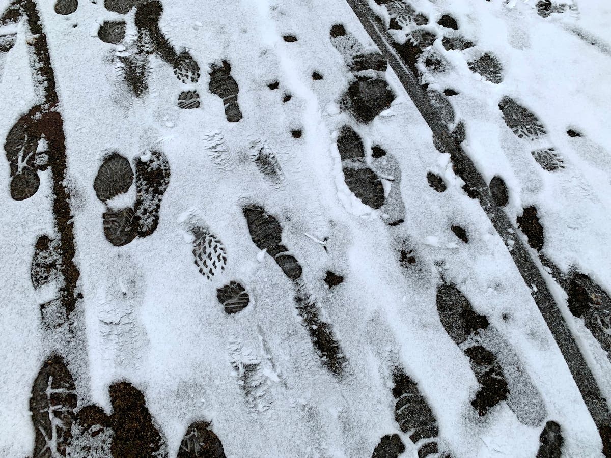
Don't put away that snow shovel just yet. "New snow accumulation of around an inch possible" Sunday, the National Weather Service said.

TWIN CITIES, MN — Don't put away that snow shovel just yet. The National Weather Service says residents in the Twin Cities should prepare for another round of snow this week.
Up to an inch of snow could accumulate in the metro by Wednesday night, NWS said.
"Enjoy today's weather as precipitation develops Tuesday afternoon," the National Weather Service said. "Today's high temperatures will be 10 to 15 degrees warmer than on Sunday, but still averaging 5 to 10 degrees below average for late March."
Find out what's happening in Southwest Minneapolisfor free with the latest updates from Patch.
Also read: Klobuchar: Clarance Thomas Must Recuse Himself Over Wife's Texts
Here’s the full NWS forecast from the Minneapolis-St. Paul International Airport:
Find out what's happening in Southwest Minneapolisfor free with the latest updates from Patch.
Monday: Increasing clouds, with a high near 40. Southeast wind 5 to 10 mph.
Monday Night: Mostly cloudy, with a low around 29. Southeast wind around 10 mph.
Tuesday: A 30 percent chance of rain after 4pm. Mostly cloudy, with a high near 42. Breezy, with a southeast wind 15 to 20 mph, with gusts as high as 35 mph.
Tuesday Night: Rain before 1am, then rain and possibly a thunderstorm between 1am and 4am, then rain after 4am. Low around 35. East southeast wind 10 to 15 mph, with gusts as high as 35 mph. Chance of precipitation is 100%. New rainfall amounts between a half and three quarters of an inch possible.
Wednesday: Rain likely, mainly before 1pm. Mostly cloudy, with a high near 41. North wind 10 to 15 mph, with gusts as high as 25 mph. Chance of precipitation is 60%. New precipitation amounts between a tenth and quarter of an inch possible.
Wednesday Night: A chance of rain before 8pm, then a chance of rain and snow between 8pm and midnight, then a chance of snow after midnight. Mostly cloudy, with a low around 29. Blustery, with a north wind 15 to 20 mph, with gusts as high as 40 mph. Chance of precipitation is 50%. New snow accumulation of around an inch possible.
Thursday: A chance of snow before 2pm, then a chance of rain and snow. Mostly cloudy, with a high near 36. Breezy, with a north northwest wind 15 to 20 mph, with gusts as high as 30 mph. Chance of precipitation is 30%.
Thursday Night: Partly cloudy, with a low around 25. Northwest wind 10 to 15 mph.
Friday: Sunny, with a high near 44. Northwest wind around 10 mph.
Friday Night: A slight chance of rain and snow between 1am and 3am, then a slight chance of snow after 3am. Partly cloudy, with a low around 30. West northwest wind around 5 mph becoming south southwest in the evening. Chance of precipitation is 20%.
Saturday: Partly sunny, with a high near 48. West southwest wind 5 to 10 mph becoming northwest in the afternoon.
Saturday Night: Partly cloudy, with a low around 31. North northwest wind 5 to 10 mph becoming southwest after midnight.
Sunday: Mostly sunny, with a high near 50. Southeast wind 5 to 10 mph becoming west in the afternoon.
Get more local news delivered straight to your inbox. Sign up for free Patch newsletters and alerts.


