Politics & Government
Winnipesaukee Water Quality In Decline, But With Change Can Be Saved: Study Says
Lake Winnipesaukee is losing its water clarity and is suffering from human impacts, according to more than 40 years of research data.

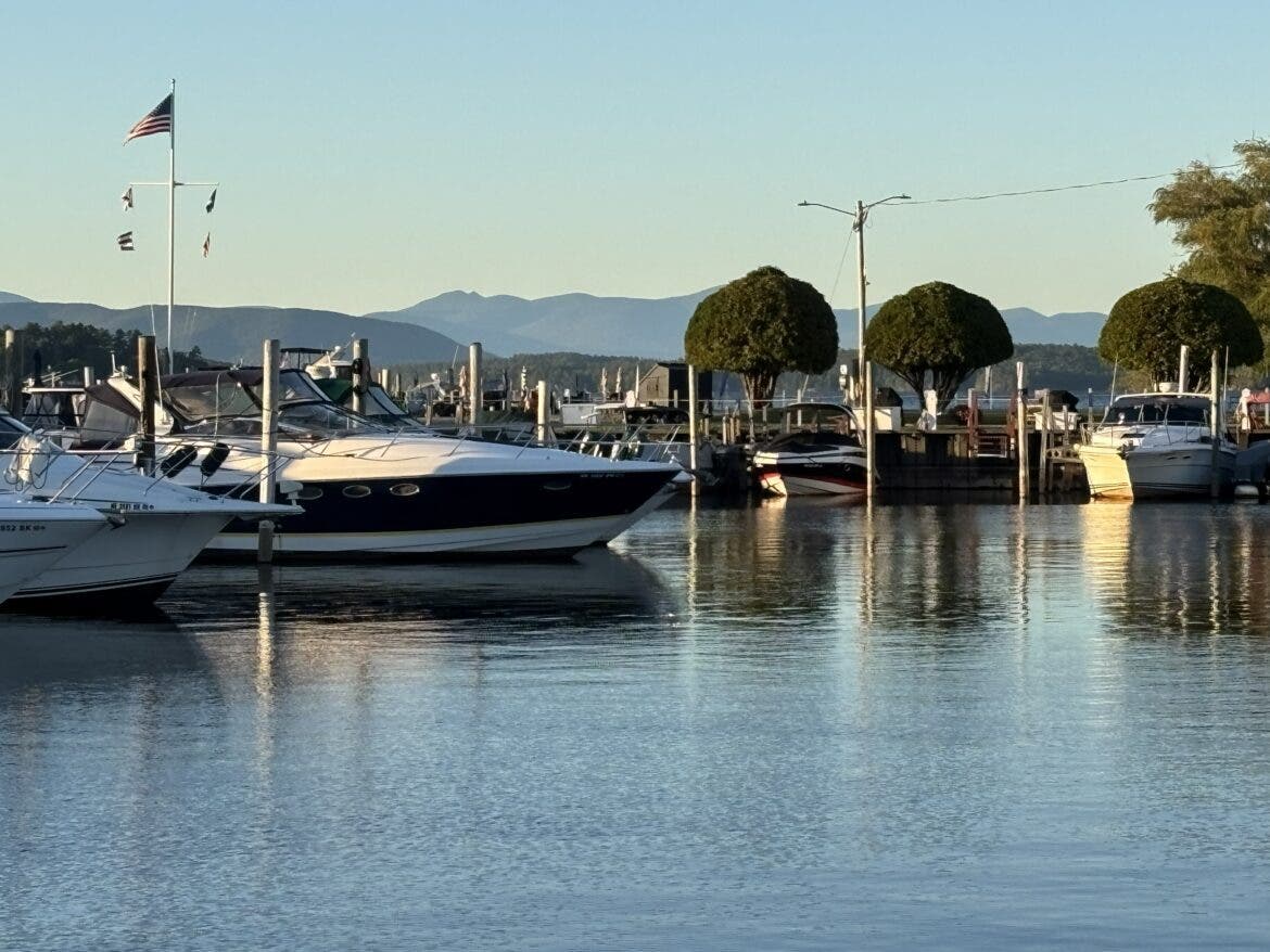
MEREDITH, NH — Lake Winnipesaukee is losing its water clarity and is suffering from human impacts, according to more than 40 years of research data, which was compiled together for the first time and released this week.
This is not the death knell but an inflection point with time left to act to reverse the decline, scientists say.
But it will take everyone – property owners, landscapers and communities around the lake, according to officials for the Lake Winnipesaukee Alliance, which commissioned the study.
Lake Winnipesaukee is considered a national treasure with 72 square miles of water and 261 islands.
It is the largest of the state’s close to 1,000 water bodies and known for its deep, clear water, surrounded by mountains. Its shores lie in Alton, Wolfeboro, Moultonborough, Center Harbor, including Meredith and the City of Laconia which draws its drinking water supply from the Winni watershed.
Before the Clean Water Act of the 1970s, waters in the state were not as clear but there was far less development on the Big Lake as it is known.
In the 1980s and 1990s it had great clarity, but that has declined.
The LWA officials said its hope is that with this data, Lake Winnipesaukee’s water will be treated as a “legacy” to be handed down like a camp so that the next generation and the ones after will experience what those who have been coming to the lake have enjoyed: clean clear swimmable water.
The focus will be to motivate people, particularly property owners, to adopt practices to minimize the “three S’s:” stormwater, sewage and salt from entering the lake.
Eric Siy, Lake Winnipesaukee Alliance’s executive director, said in a virtual press conference Wednesday that the “wake up call” came in the summer of 2024, when every section of the lake was reporting blooms of cyanobacteria. This was particularly alarming because some cyanobacteria, or “blue green algae,” can produce toxins which can kill dogs and sicken human beings.
After that summer U.S. Sen. Jeanne Shaheen, D-NH, convened a meeting with lake officials and assured that federal money to conduct lake water management plans for all areas of the lake and other lakes would be approved and noted some studies were already underway.
By the end of 2025, all 10 watershed areas on the Big Lake had management plans.
Using that data, Forrest Bell, owner and chief executive officer for FB Environmental Associates, and his team of scientists were hired to go through the data.
It found the lake has lost eight feet of water clarity over the years that volunteers have been making observations for more than four decades.
Volunteers have been going out to the same locations in the lake and dropping a Secchi disk overboard to see how far it can be dropped and still be seen. That length of sight has shortened over time.
“The amount of stormwater entering the lake is currently estimated at 44.5 billion gallons based on our modeling. That stormwater contains eroded soil, fertilizer and pet waste, in addition to other pollutants from human activities,” wrote Amalia Handler, PhD and limnologist that was part of the team at FB Environmental leading the study, in a follow-up email.
Also there are now 27,000 buildings throughout the watershed, with concentrations along the shoreline and future development expected, the report reads.
Siy said during the press conference that this is not an-anti development message but more about “using a steering wheel” to avoid problems that may come, particularly as impervious surfaces around the lake dramatically increase and allow the water to roll in rather than a natural filter of forests and bushes that used to rim the shore.
These dirty waters can be diverted and filtered and otherwise made to be less impactful through land management.
The report is part of the Alliance’s “Legacy Strategy” to safeguard the lake and it looks to engage landscape companies in the region to help increase natural resilience and find ways to help property owners maintain the value of their tract.
According to its “blueprint for lasting protection” a new digital tool will be created to “put the power of lake protection in people’s hands. These tools will include an empowering web-based app to equip property owners with password protected profiles of their property’s key attributes – soils, impervious surfaces, onsite wastewater treatment (septic) systems, cover type and more,” it reads, which can be used to protect the lake from runoff.
Also, the nonprofit organization, which will celebrate its 50th anniversary in November, is looking to find ways to help property owners pay for the improvements and reward or otherwise honor property owners for making improvements.
A link to the press presentation is here https://www.youtube.com/watch?v=VFpeLpDo05g
Mark Ishkanian, board chair of the LWA, said the data shows the “clearest picture” to date on the lake and Siy said “we know the legacy is at risk” but the choice now is “greener or cleaner” and he said he hoped the data and the plan is “empowering” for positive change.
Find out what's happening in Across New Hampshirefor free with the latest updates from Patch.
This story was originally published by InDepth NH.