Weather
More Thunderstorms Heading to NH
Breaking: After yesterday's downpours, expect more rain on Sunday - in between the heat - according to the National Weather Service.

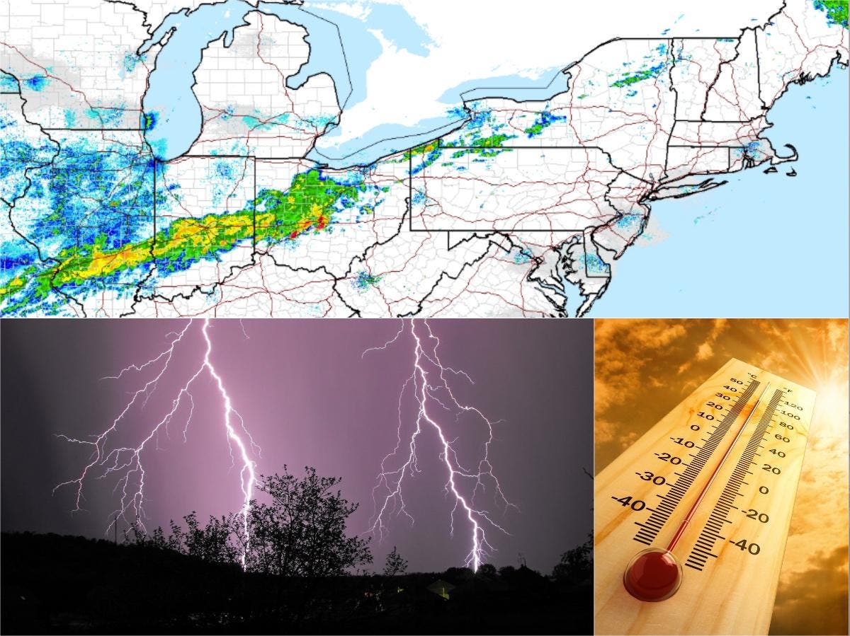
GRAY, ME — Weather forecasters are warning that more storms will be heading to New Hampshire this afternoon, according to an alert this morning from the National Weather Service. The alert – issued at just after 3 a.m. on Aug. 14, 2016, calls for scattered thunderstorms and showers with some flooding possible.
“Showers and scattered thunderstorms will develop today ahead of a cold front,” according to the alert. “Some of the storms may produce torrential downpours and localized flooding...strong gusty winds and hail.”
Before the storms, the heat and humidity will be back “in force,” as noted by forecasters this morning.
Find out what's happening in Concordfor free with the latest updates from Patch.
But after that, more rain is expected to be moving through the state.
Find out what's happening in Concordfor free with the latest updates from Patch.
No hazardous weather is expected after that, according to the NWS.
The latest weather conditions can be found on the front page of every Patch.com site in the United States including the 12 New Hampshire Patch news and community websites. Local, four-day weather reports for New Hampshire are posted on Sundays and Thursdays; alerts are posted when needed.
Get more local news delivered straight to your inbox. Sign up for free Patch newsletters and alerts.