Weather
Possibly Severe Thunderstorms Heading To The Granite State
Breaking: The National Weather Service has posted a warning about showers, damaging wind through the overnight hours in most of the state.

GRAY, ME — The National Weather Service has issued a “Hazardous Weather Outlook” for most of New Hampshire, including Merrimack, Hillsborough, and Rockingham Counties. Forecasters are warning that potentially severe thunderstorms could be expected this evening and into the overnight hours. The alert was issued at 3:20 p.m. on Aug. 22, 2017.
“Showers and thunderstorms are expected this evening through the overnight hours,” according to the alert. “There is the potential for severe thunderstorms with damaging wind being the primary threat.” (For more information on this and other neighborhood stories, subscribe to Concord NH Patch to receive daily newsletters and breaking news alerts.)
Severe thunderstorm watches were also issued for the southern parts of the state this afternoon.
Find out what's happening in Concordfor free with the latest updates from Patch.
Timeline
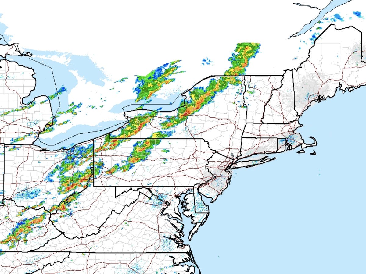
The storms are expected to reach the Connecticut valley of western New Hampshire sometime between 6 and 8 p.m. As they move east, they are expected to weaken gradually, according to forecasters.
Find out what's happening in Concordfor free with the latest updates from Patch.
A cold front will then move in behind the storm.
The strongest parts of the storm are expected to hit the southeastern part of the state – from Nashua to Portsmouth and everything in between.
Here’s a satellite loop of the storm traveling through New York earlier today.
The latest weather conditions can be found on the front page of every Patch.com site in the United States including the 12 New Hampshire Patch news and community websites. Local, four-day weather reports for New Hampshire are posted on Sundays and Thursdays; alerts are posted when needed.
Get more local news delivered straight to your inbox. Sign up for free Patch newsletters and alerts.