Weather
Scattered Thunderstorms on the Horizon for NH
The National Weather Service issued a hazardous weather outlook alert for the Granite State warning of strong, gusty winds, heavy rain.

GRAY, ME — The National Weather Service issued a hazardous weather outlook alert for the entire state of New Hampshire on Sept. 10, 2016, warning of thunderstorms running through Sunday. The alert was issued at 3:10 a.m. this morning.
“A strong cold front will move through the region late tonight bringing a round of showers and thunderstorms to the region,” according to the alert. “Some of these thunderstorms may be strong...with the potential to bring gusty winds and very heavy rain.”
Find out what's happening in Concordfor free with the latest updates from Patch.
The storms are expected to carry over into Sunday morning as a band of showers hit the region. The alert warned that “some of these thunderstorms may be strong … with the potential to bring gusty winds and very heavy rain.”
The latest weather conditions can be found on the front page of every Patch.com site in the United States including the 12 New Hampshire Patch news and community websites. Local, four-day weather reports for New Hampshire are posted on Sundays and Thursdays; alerts are posted when needed.
Find out what's happening in Concordfor free with the latest updates from Patch.
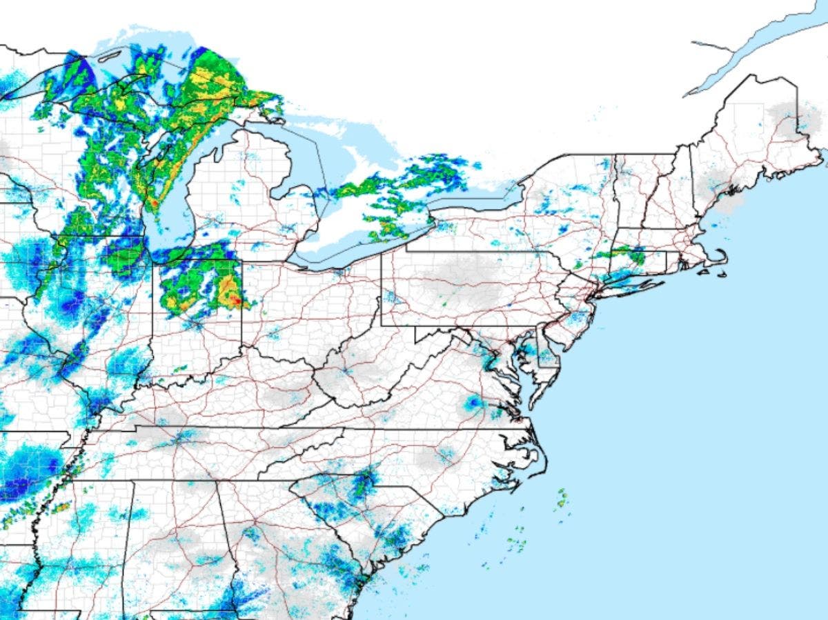
Caption: A screenshot of the NWS radar at 9:47 a.m. on Sept. 10.
Get more local news delivered straight to your inbox. Sign up for free Patch newsletters and alerts.