Weather
‘Strong Potentially Severe’ T-Storms Coming: Forecasters
Breaking: The NWS has issued a hazardous weather outlook for the Granite State, with the threat of damaging wind, heavy rainfall coming.

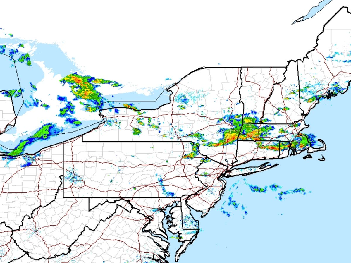
GRAY, ME — Another summer day, another thunderstorm alert. The National Weather Service issued a “hazardous weather outlook” at around 2:30 p.m. on July 12, 2017, warning that more storms were threatening the state, including Merrimack, Hillsborough, and Rockingham Counties. The storms are expected this afternoon and this evening.
“There is a chance for a few strong to potentially severe thunderstorms through this evening,” the alert noted. “Damaging winds and locally heavy rainfall are the greatest threats.”
Find out what's happening in Concordfor free with the latest updates from Patch.
Expect the wave of storms to hit sometime between 6 and 10 p.m., with a few isolated showers in between, according to forecasters.
The latest weather conditions can be found on the front page of every Patch.com site in the United States including the 12 New Hampshire Patch news and community websites. Local, four-day weather reports for New Hampshire are posted on Sundays and Thursdays; alerts are posted when needed.
Find out what's happening in Concordfor free with the latest updates from Patch.
Get more local news delivered straight to your inbox. Sign up for free Patch newsletters and alerts.