Weather
Thunderstorms Coming to Southern New Hampshire
The National Weather Service has issued a hazardous weather outlook warning of "severe thunderstorms" with the approaching cold front.

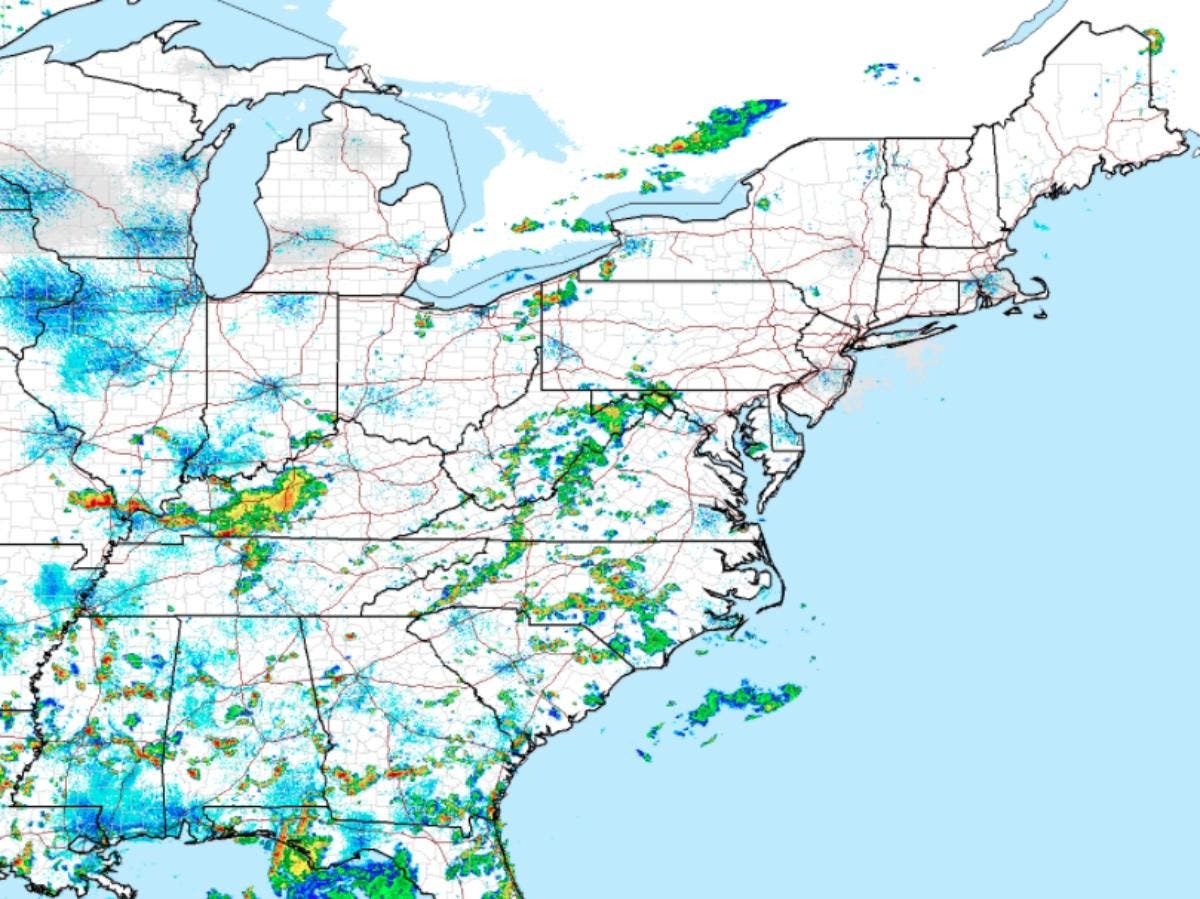
GRAY, ME — The National Weather Service has issued a hazardous weather outlook for southern New Hampshire warning of “severe thunderstorms” ahead of a cold front tomorrow. The alert was issued at just before 3:30 p.m. on Aug. 5, 2016. Weather is expected to be clear through tonight but tomorrow, expect some strong storms.
“Scattered strong to severe thunderstorms are possible on Saturday ahead of an approaching cold front,” according to the alert. “The greatest potential for severe weather will be over southern New Hampshire and areas of southwest and central Maine. Damaging winds will be the greatest severe weather threat.”
Find out what's happening in Concordfor free with the latest updates from Patch.
The alert includes Merrimack, Hillsborough, and interior Rockingham counties.
The NWS also posted a bit of climate data for New Hampshire, posted below:
Find out what's happening in Concordfor free with the latest updates from Patch.
The latest weather conditions can be found on the front page of every Patch.com site in the United States including the 12 New Hampshire Patch news and community websites. Local, four-day weather reports for New Hampshire are posted on Sundays and Thursdays; alerts are posted when needed.
Get more local news delivered straight to your inbox. Sign up for free Patch newsletters and alerts.