Community Corner
Heavy Rain Coming to NH
A flood watch was issued Tuesday through Thursday, possible power outages and two to four inches of rain are expected.

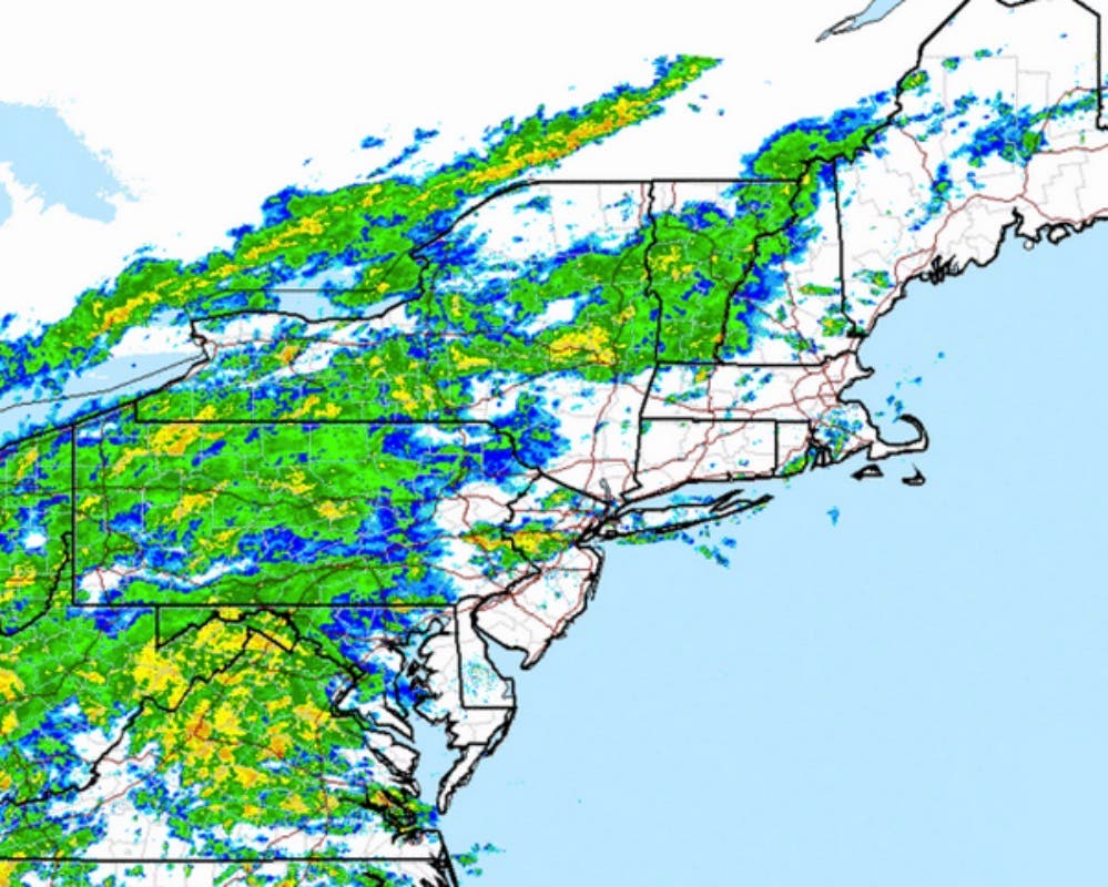
The region will get drenched with two to four inches of rain and strong winds could tear down power lines this week.
A flood watch was issued for Tuesday night through Thursday morning.
The heaviest rain is supposed to hit Wednesday morning around 10 a.m. Wind gusts of of 40 mph or higher could tear down power lines.
Find out what's happening in Milfordfor free with the latest updates from Patch.
Here’s more from the National Weather Service:
Find out what's happening in Milfordfor free with the latest updates from Patch.
- HEAVY RAINFALL IS EXPECTED TO IMPACT THE AREA LATE TONIGHT THROUGH THURSDAY MORNING. RAINFALL RATES COULD EXCEED AN INCH PER HOUR AT TIMES. EMBEDDED ISOLATED THUNDERSTORMS ARE POSSIBLE WEDNESDAY.
- TOTAL RAINFALL AMOUNTS OF 2 TO 4 INCHES AREA FORECAST AT THIS TIME. LOCALLY HIGHER AMOUNTS ARE POSSIBLE WHERE BANDS OF HEAVY RAIN MOVE ACROSS THE SAME AREAS.
- FLOODING OF URBAN...POOR DRAINAGE AND LOW LYING AREAS IS THE GREATEST THREAT. SMALLER RIVERS AND STREAMS WITH FAST RESPONSE TIMES ARE ALSO SUSCEPTIBLE TO FLOODING DUE TO RAPID RUNOFF FROM INTENSE RAINFALL RATES. WIDESPREAD MAIN STEM RIVER FLOODING SHOULD REMAIN IN THEIR BANKS.
Get more local news delivered straight to your inbox. Sign up for free Patch newsletters and alerts.