Weather
NJ Thunderstorms Possible, Statewide Heat Advisory Issued Thursday
The hottest and most humid day of the heat wave in New Jersey may also see thunderstorms, forecasters said. Here's the latest.

NEW JERSEY - The hottest and most humid day of New Jersey’s brutal heat wave thus far may also see thunderstorms and showers, forecasters said.
Starting at 11 a.m. on Thursday, all 21 New Jersey counties are under a heat advisory through 8 p.m. as maximum heat indices from 104 to 108 degrees are expected.
“Hot temperatures and high humidity may cause heat illnesses to occur,” the National Weather Service wrote in the advisory. “Drink plenty of fluids, stay in an air-conditioned room, stay out of the sun, and check up on relatives and neighbors. Young children and pets should never be left unattended in vehicles under any circumstances.”
Find out what's happening in Across New Jerseyfor free with the latest updates from Patch.
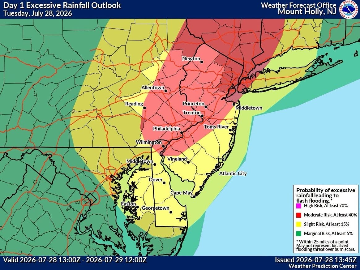
A slight chance of showers and thunderstorms is also in the cards for the Garden State at around 1 p.m., “but most of the area will be dry with scattered clouds,” the National Weather Service Mount Holly station tweeted Thursday morning.
North and northeastern New Jersey will see the greatest chance of thunderstorms and showers Thursday, the agency confirmed in a forecast discussion.
Find out what's happening in Across New Jerseyfor free with the latest updates from Patch.
New Jersey is poised to remain in the "extreme caution" heat index level zone through at least next Monday, according to a New York Times graphic using data from the National Oceanic and Atmospheric Administration. Per NOAA, "extreme caution" comes with possible risk of heat stroke, heat cramps or heat exhaustion after long exposure or exercise. The rest of the state is categorized in the "caution" zone, where fatigue is possible after long exposure or exercise.
Heat indices are a measure of how hot it really feels outside, measured by factors such as humidity and temperature.
Thursday and Sunday are the only exceptions in the Garden State, where New Jersey will reportedly move into the "danger" level. Those risks are associated with likely heat cramps and heat exhaustion, as well as heat stroke after long exposure to exercise as heat indices surpass 103 degrees.
Forecasters say that relief may finally come Sunday via showers and thunderstorms as a cold front approaches the region from the north.
The National Weather Service recommends that people stay in cooler rooms, drink fluids and keep out of the sun on hot days. The agency also notes to check up on older relatives and neighbors who live alone. To reduce risk during outdoor work, the Occupational Safety and Health Administration also recommends scheduling frequent rest breaks in shaded or air-conditioned environments.
A list of emergency cooling centers and additional resources can be found here.
Here’s the latest statewide forecast, per the National Weather Service:
Thursday: A slight chance of showers and thunderstorms after 1 p.m. Some of the storms could produce gusty winds. Mostly sunny, with a high near 95. Heat index values as high as 106. Southwest wind 5 to 15 mph.
Thursday Night: Mostly clear, with a low around 73. Southwest wind 5 to 10 mph.
Friday: Sunny, with a high near 94. Northwest wind 5 to 10 mph.
Friday Night: Mostly clear, with a low around 73. Southwest wind around 5 mph.
Saturday: Sunny, with a high near 96. Calm wind becoming southwest around 5 mph in the afternoon.
Saturday Night: Mostly clear, with a low around 74.
Sunday: Mostly sunny and hot, with a high near 97.
Sunday Night: Partly cloudy, with a low around 78.
Get more local news delivered straight to your inbox. Sign up for free Patch newsletters and alerts.