Crime & Safety
UPDATE: Tropical Storm Andrea: An Uninvited Prom Guest
Local emergency management personnel monitoring weather reports today.
Except for a few Barnegat Township High School students who are worried that Tropical Storm Andrea may ruin their prom photos - "my daughter is freaking out," wrote one township parent on their Facebook page today - not many people interviewed today were worried about the storm.
Barnegat High School senior Clarissa O'Connor was taking the potentially prom-picture ruining weather in stride, noting that even though it is supposed to be rainy tomorrow, "a lot of us are going to Wildwood for the weekend, so at least hopefully it will be nice by then."
Lt. Keith Germain, of the Barnegat Police Department, said that from an emergency management perspective, the town's "biggest concerns are coastal flooding and high winds, and a lot of that was predicted earlier in the week but not as much anymore, so we'll just be monitoring the roadways for surface road conditions."
Find out what's happening in Barnegat-Manahawkinfor free with the latest updates from Patch.
A 4 p.m. Joint Emergency statement from Barnegat and Ocean Townships issued today read: "Tropical Storm Andrea is currently impacting Florida and the southeastern coast of the United States with heavy rains, gusty wind and coastal flooding. This tropical storm will move quickly up the eastern seaboard and affect New Jersey late Thursday night into early Saturday morning.
Presently, weather conditions expected with Tropical Storm Andrea are the following:
1. Heavy Rains: Rainfall amounts of 2-4 inches, with isolated areas of heavier rain are forecasted for the southern Ocean County area. This will cause flooding in areas of poor drainage and ponding of water on roadways.
2. Strong Winds: Winds will increase on Friday to 20-30 mph, with gust upwards to 40 mph, especially along the coastal sections of Barnegat and Ocean Townships. Residents are urged to secure or move inside outside items that could become projectiles with the strong winds.
3. Coastal Flooding: Minor coastal flooding is anticipated along the bayfront and lagoon areas with the high tide of Friday evening. It is recommended that residents move vehicles from areas prone to coastal flooding conditions. Heavy rainfall will only increase the amount of flooding experienced along the bayfrontand lagoon areas during Friday evening. Bayshore Drive in Barnegat between the municipal beach and dock might be closed Friday evening due to flooding conditions."
Lt. Tom Dellane, of Stafford Township Police Department, echoed Germain's sentiment.
Find out what's happening in Barnegat-Manahawkinfor free with the latest updates from Patch.
"We're monitoring the storm's progress, but it doesn't look like we're going to be getting it as bad as they first thought," Dellane said.
Dellane said that no plans as of yet have been made to change the Founders Daycelebration, scheduled for Saturday, because the storm is predicted to "clear out in time for that."
The statement from Barnegat and Ocean Townships also addressed potential outages, noting: "At this time, power outages as a result of the storm are not anticipated. If they do occur, they will most likely be sporadic and isolated in nature. Regardless, local utility companies are prepared for the approaching storm and will respond to any request for service." Atlantic City Electric customers who are without power are asked to click here .
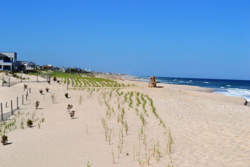
Over on Long Beach Island, just this week, work began in areas of Brant Beach on a $30.6 million beach replenishment program to protect the barrier island from larger storms, which will also include Harvey Cedars and Surf City.
The Great Lakes Dredge & Dock Company will pump 3 million cubic yards of sand to rebuild engineered beaches in these Long Beach Island that were affected bySuperstorm Sandy.
Tell us in the comments, are you worried about the predicted storm messing up your weekend plans?