Weather
Parade Canceled In Caldwells As Towns Warn Of Icy Weather
A football parade was canceled in the Caldwells as governments alerted resident to coming cold and slippery weather.

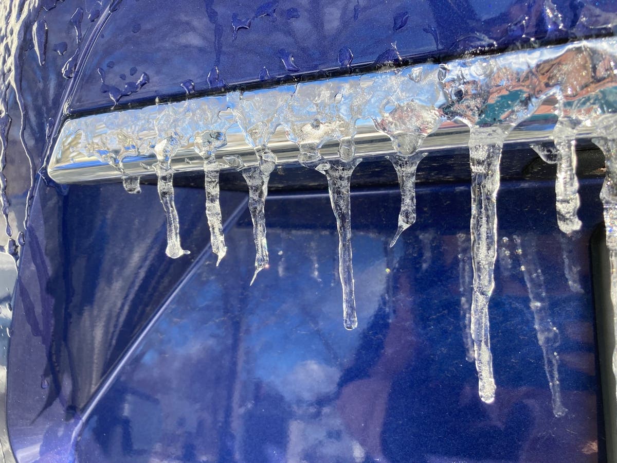
THE CALDWELLS, NJ — With icy and windy conditions expected to continue Saturday, officials in the Caldwells warned of slippery weather and canceled a football parade.
The West Caldwell police said on Friday:
"The 2022 James Caldwell High School Football Parade originally scheduled for December 24th has been canceled due to anticipated weather conditions. A new date for the parade will be determined in the near future. Happy holidays!"
Find out what's happening in Caldwellsfor free with the latest updates from Patch.
Message From Caldwell
"With the potential for severe weather over the next couple days, Caldwell’s Office of Emergency Management reminds residents to prepare now for the following: Expect heavy rain overnight with localized flooding and gusty winds to be followed by a dramatic drop in temperatures by late tomorrow afternoon. Low temperatures will be accompanied by powerful winds creating dangerous wind chills, flash freezing and black ice on sidewalks and roadways. These conditions may bring down trees and wires resulting in power outages. We urge residents to prepare now for the storm. Have flashlights with fresh batteries on hand, check on elderly neighbors who may need assistance if they lose power, limit travel during the storm, stay away from downed branches or wires, and use 911 to report any emergencies. Thank you and be safe"
Find out what's happening in Caldwellsfor free with the latest updates from Patch.
Special Weather Statement From NWS
The NWS said on Friday, in a special weather statement for North Jersey, "A strong Arctic cold front is expected to move through the region from around Noon to 1 PM EST. The front will be accompanied with briefly heavy showers, possibly with lightning, and strong gusty winds of 40 to 50 mph. Southerly winds will shift to the west and Arctic cold will begin to move into the region, with westerly winds 20 to 30 mph and gusting 40 to 45 mph."
Get more local news delivered straight to your inbox. Sign up for free Patch newsletters and alerts.