Weather
Flood Watch In Effect For Hoboken Saturday: See Timing, Track Tropical Storm Philippe
With the ground already damp, showers will "present a threat for isolated to scattered flash flooding," the NWS says. Here's when.

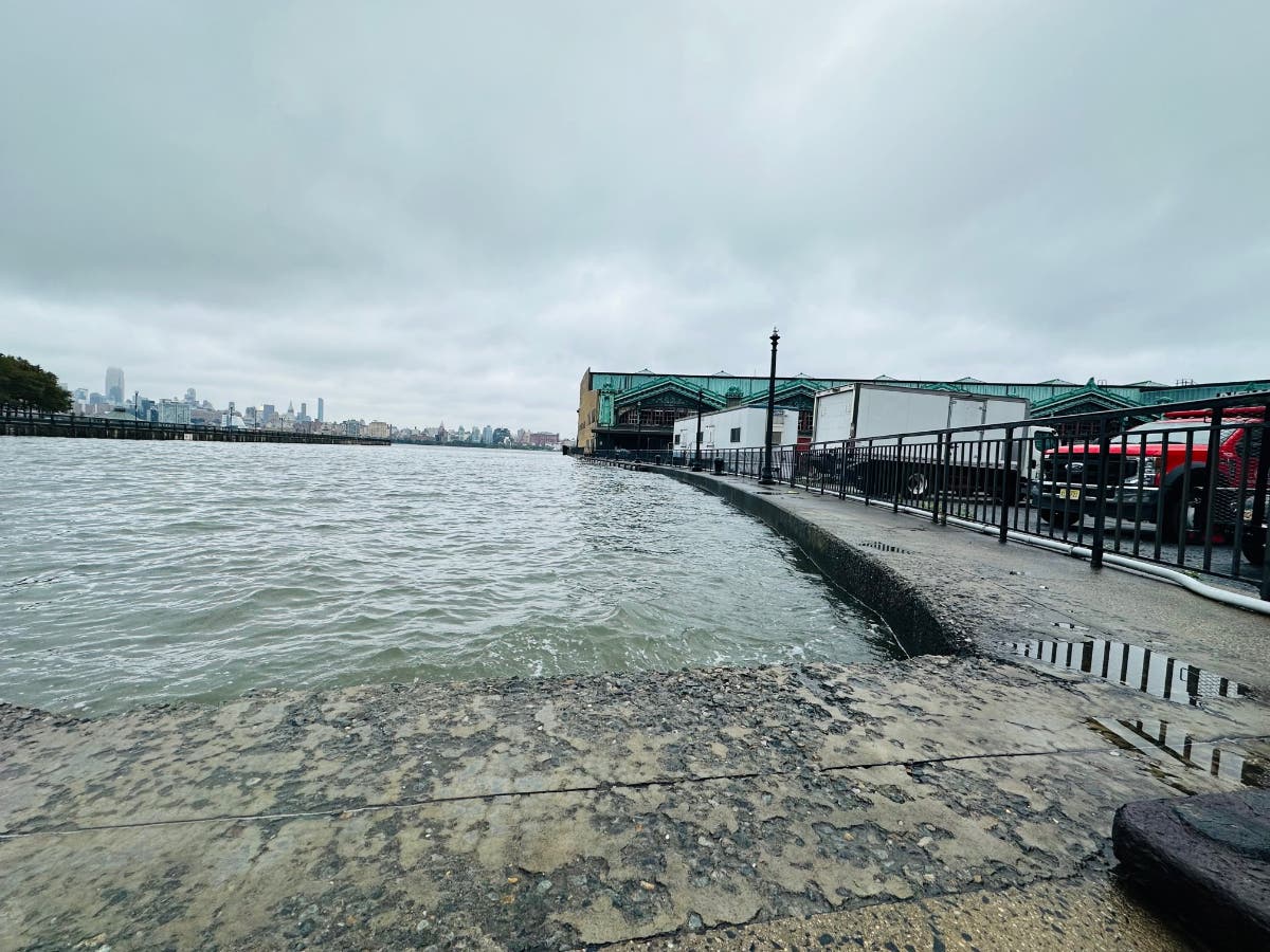

HOBOKEN, NJ — After two stormy Saturdays in a row, low-lying Hoboken is in for a third, forecasters say. The prediction now calls for 1-2 inches of rain overnight through Saturday.
Hoboken floods most often at high tide. Saturday's high tides will be at 3:48 a.m. and 4:01 p.m., —but the tides will be lower than last weekend.
Still, the National Weather Service has issued a flood watch from 2 a.m. through 7 p.m. on Saturday.
Find out what's happening in Hobokenfor free with the latest updates from Patch.
See a map of the watch area here and a powerpoint about the flooding possibilities here.
A hazardous weather outlook issued for Hudson County for this weekend says, "A strong cold front will bring potential for heavy rain showers and embedded thunderstorm activity Saturday. Due to saturated soil conditions and high streamflows in the area, this will present threat for isolated to scattered instances of flash flooding."
Find out what's happening in Hobokenfor free with the latest updates from Patch.
Showers will start mainly after 2 a.m. on Saturday, the National Weather Service says. See the forecast and watches here.
Long-range forecasts also predict another rain dump next Friday, Oct. 13, into that Saturday, although it's early.
Track Tropical Storm Philippe here.
See the radar here.
Get more local news delivered straight to your inbox. Sign up for free Patch newsletters and alerts.