Weather
New Flood Advisory Issued For Hudson County With More Rain, Wind Gusts Expected
A storm partly created by Storm Ian will hover over Hudson County through Wednesday, forecasters say. The advisory is for high tide Tuesday.


HUDSON COUNTY, NJ — The National Weather Service has issued a new coastal flood advisory for Hudson County for 2-6 p.m. on Tuesday, during high tide. They say that areas near water could experience "1-2 feet of inundation" or flooding.
Jersey City already experienced flooding on Route 440 this morning. Video was posted on Twitter of someone attempting to drive through a flood (officials have warned against this, as cars have
stalled and people have drowned in flash floods).
JERSEY CITY Flood: An SUV makes it through, several attempts pic.twitter.com/DwBIzRyZNm
— Lauren Due (@LaurenDue12) October 4, 2022
High tide in Hudson County on Tuesday will be at 4:34 p.m.
Find out what's happening in Hobokenfor free with the latest updates from Patch.
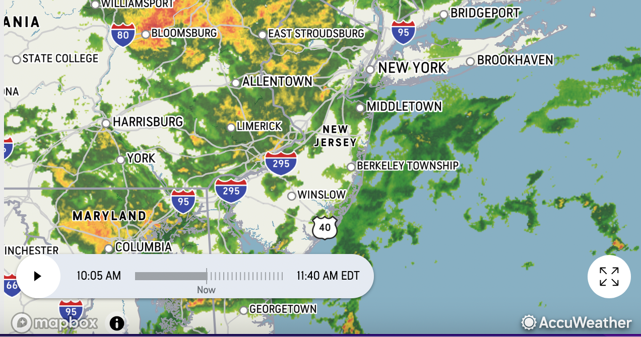
Accuweather radar showed that heavy rains are on the way for later on Tuesday:
Find out what's happening in Hobokenfor free with the latest updates from Patch.
Meteorologists have said that Hurricane Ian helped create a coastal storm that will hover in the area through Wednesday. The sun will return Thursday.
The coastal flood advisory applies to Hudson County, Manhattan, and eastern Essex and Union counties.
The forecast for the area calls for 30 m.p.h. winds Tuesday and up to an inch of rain.
For comparison, the deadly Tropical Depression Ida last Sept. 1 dumped more than 7 inches of rain in a short time on parts of North Jersey, leaving flooded corners.
"Minor flooding is expected in vulnerable locations near the waterfront and shoreline. Some roads and low lying properties including parking lots, parks, lawns, and homes and businesses with basements near the waterfront will experience minor flooding," the NWS said in its alert.
Here is the NWS forecast for Hudson County.
- Here is the high tide chart. The most flooding tends to happen during high tide.
- Here is the current Accuweather radar.
Got a flood photo? Send it here.
Get more local news delivered straight to your inbox. Sign up for free Patch newsletters and alerts.


