Weather
Flood Advisory Issued For Hoboken: See Timing For Heaviest Rain, High Tide
A coastal flood advisory was issued for the Hoboken area for Thursday night. See when rain will be heaviest.

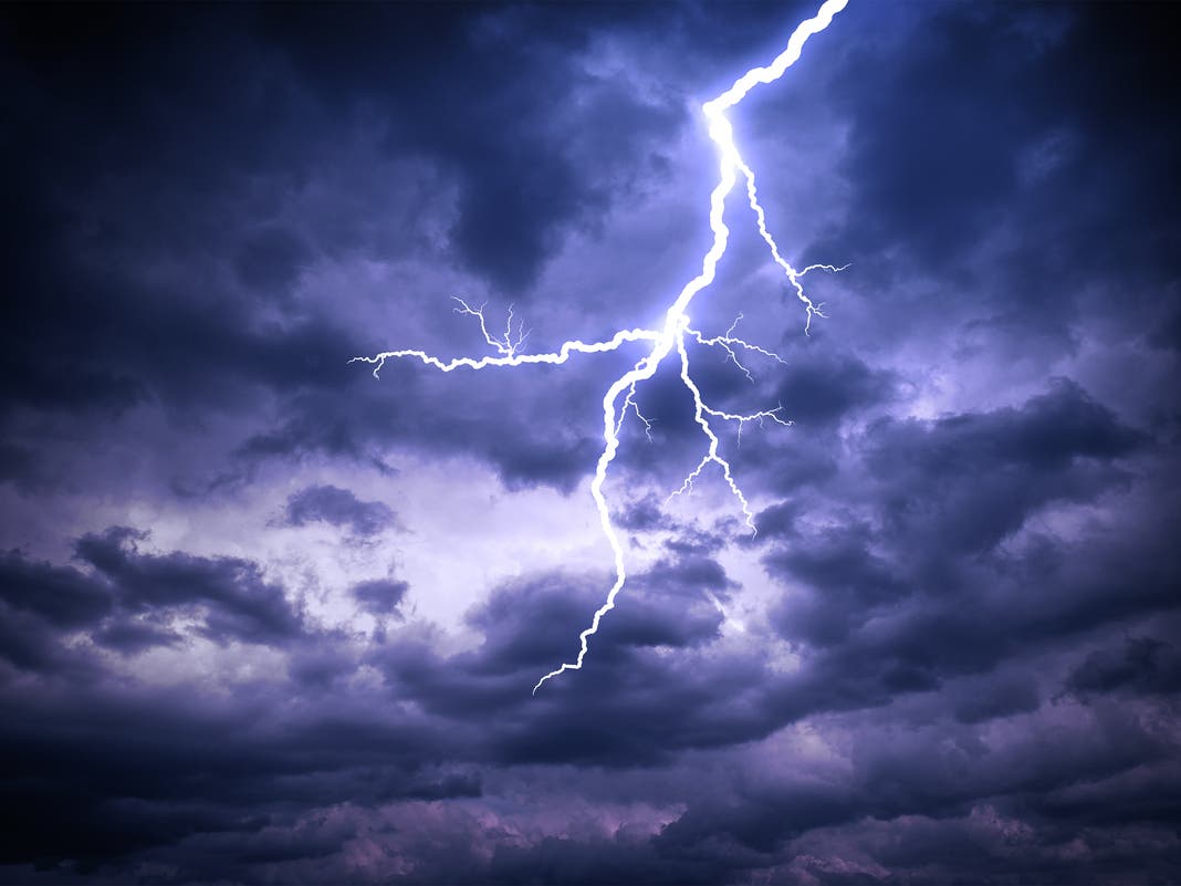
HOBOKEN, NJ — The Hoboken area was soaked by two nor'easters in as many weeks, and may see some flooding again on Thursday when up to an inch of rain may fall. To add to the concerns, the tides in New Jersey are higher than usual this week.
The National Weather Service has issued a coastal flood advisory from 9 p.m. on Thursday through 2 a.m. Friday. The rain is expected to ramp up around midnight, tapering off early Friday morning.
The NWS said, "Strong gusty winds and a period of moderate to heavy rain is likely Thursday night into early Friday morning. WPC has the area in a marginal to slight risk of excessive rainfall."
Find out what's happening in Hobokenfor free with the latest updates from Patch.
The WPC, or Weather Prediction Center, is consulted when rainfall is severe enough for potential flooding.
See the Hudson River tide times in Hoboken here. On Thursday night, high tide will be 11:44 p.m. On Friday, it will be 12:29 p.m., after the rain is expected to end.
Find out what's happening in Hobokenfor free with the latest updates from Patch.
See the Hackensack River tide times here.
The NWS also said that wind gusts on Thursday night may reach 39 MPH in Hudson County.
The Significant River Flood Outlook map is here.
Get Updates With These Links
Forecasting weather is an imperfect science, so it's best to be prepared, then to check the most up-to-date numbers:
- Keep an eye on the radar here.
- See a current map of all watches and warnings in New Jersey here.
See the updated NWS forecasts, watches, and warnings for North Jersey:
What about the rivers? This NWS map of the United States will show the potential for flooding.
Get more local news delivered straight to your inbox. Sign up for free Patch newsletters and alerts.