Weather
See Hoboken, Hudson County Wind Gust Map For Friday Into Saturday
See the timeline for the coming storm in Hoboken and Hudson County here.


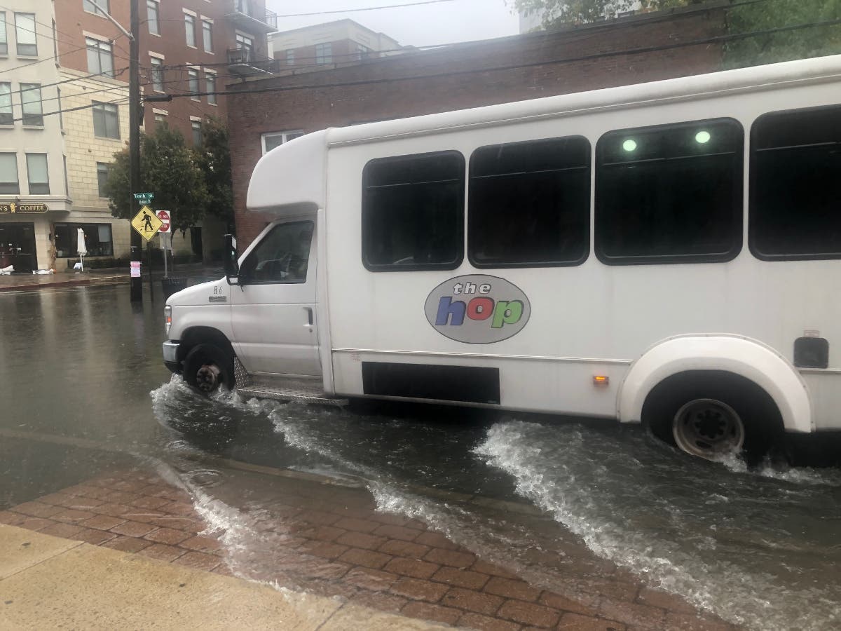


HOBOKEN, NJ — After New Jersey experienced a nor'easter earlier this week, the National Weather Service issued a coastal flood advisory from 2 to 5 p.m. Friday. After that, the NWS said the county may experience strong wind gusts from Friday at 4 p.m. through 8 a.m. Saturday morning. See the map here.
The forecast was for rain as late as 2 a.m., but less than an inch — as opposed to the 2-4 inches earlier this week.
The forecast for Hoboken says:
Find out what's happening in Hobokenfor free with the latest updates from Patch.
Friday: Mostly cloudy, with a high near 59. East wind 8 to 17 mph, with gusts as high as 28 mph.
Friday Night: Rain, mainly before 2 a.m. Temperature rising to around 60 by 5 a.m. Breezy, with an east wind 14 to 23 mph, with gusts as high as 37 mph. Chance of precipitation is 100 percent. New precipitation amounts between a half and three quarters of an inch possible.
Find out what's happening in Hobokenfor free with the latest updates from Patch.
Saturday: Rain, mainly after 8 a.m. High near 65. East wind 6 to 15 mph. Chance of precipitation is 80 percent. New precipitation amounts between a tenth and quarter of an inch possible.
Be the first to know: You can get a free Hoboken Patch news digest at 6 a.m. each morning. Sign up here. You'll then get an email confirming your preferences.
- Check the local radar with this link.
- The forecast for Hoboken and surrounding areas is here.
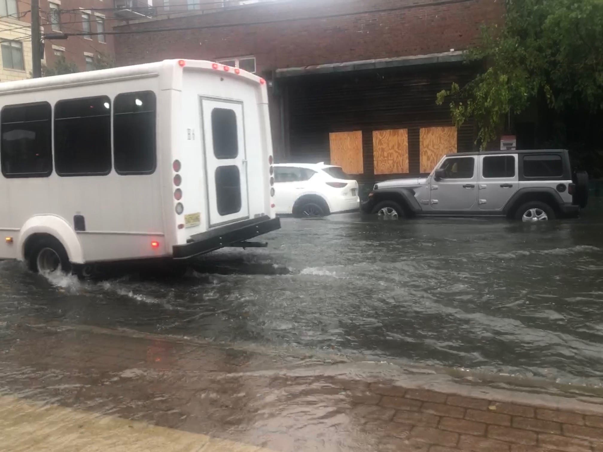
- See photos from Tuesday's nor'easter in Hoboken here.
Did you know? You can get breaking news alerts in Hoboken or a free daily newsletter at 6 a.m. each morning with news in your town. Sign up here and get an email for your preferences.
Get more local news delivered straight to your inbox. Sign up for free Patch newsletters and alerts.