Weather
Hoboken Under Flood Watch: See Threat Map
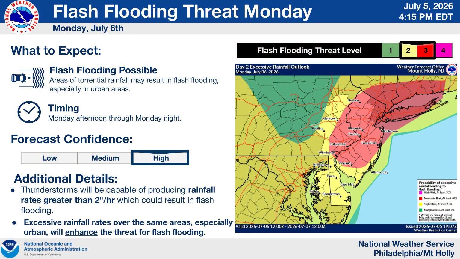
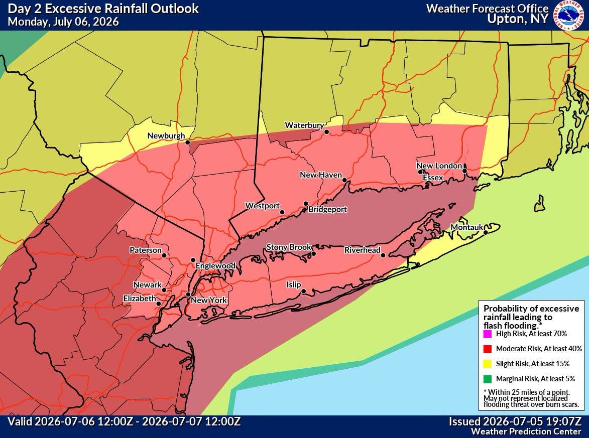
Hudson County stands a "high" chance of flash flooding on Monday, the NWS says. See the probability maps.



HUDSON COUNTY, NJ — After two days of storms, Hudson County is under a flood watch until Tuesday at 6 a.m.
The National Weather Service says thunderstorms may arrive after 2 p.m. Monday, with an inch of rain falling during the day and another inch at night.
The state's northeastern counties, including Hudson County, have a high risk of flash flooding, the NWS says:
Find out what's happening in Hobokenfor free with the latest updates from Patch.
Hoboken usually has the greatest chance of flooding at high tide. Monday, the tide will be high at 1:50 p.m. and again on Tuesday at 1:57 a.m.
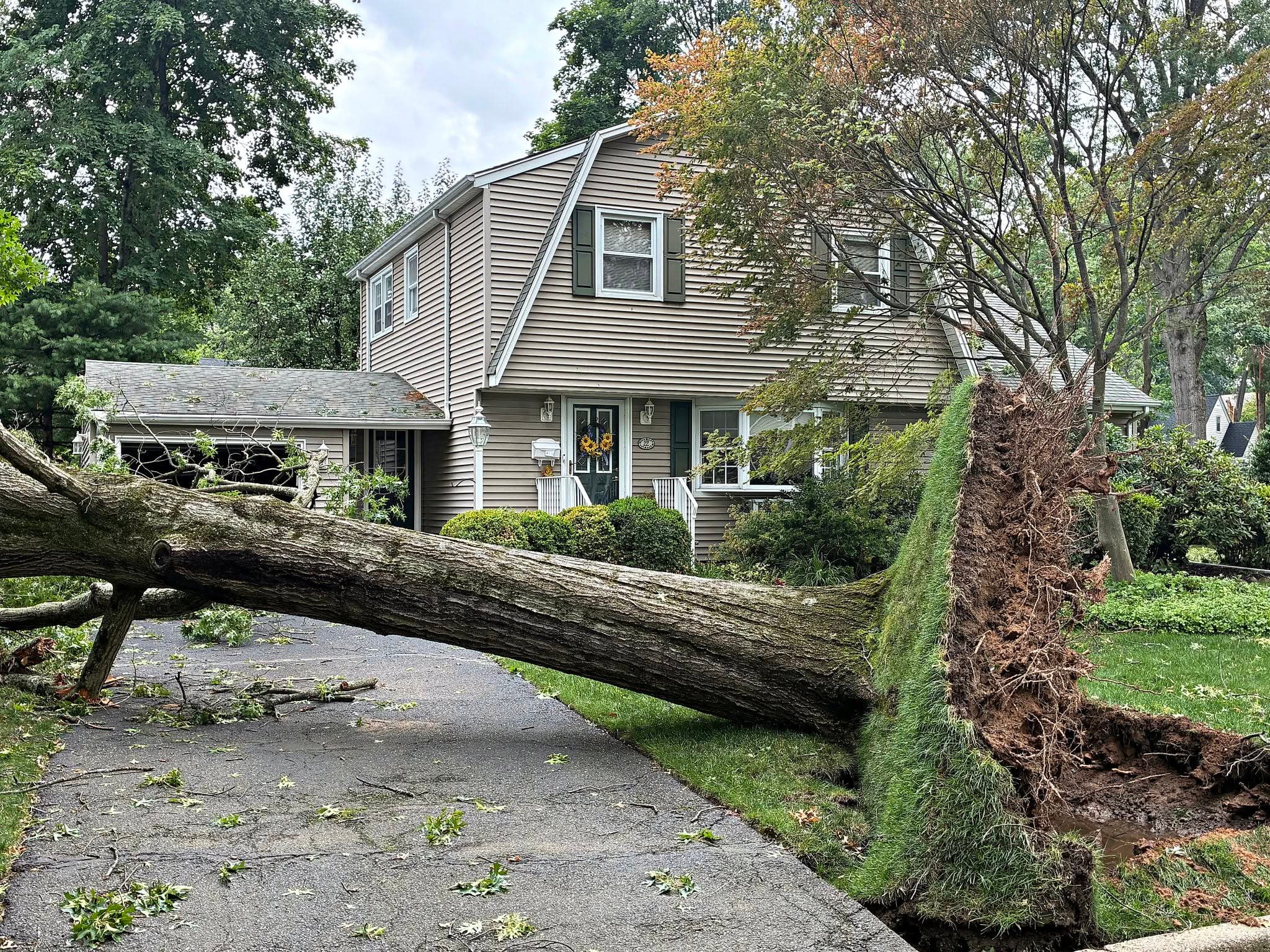
Trees Toppled
Find out what's happening in Hobokenfor free with the latest updates from Patch.
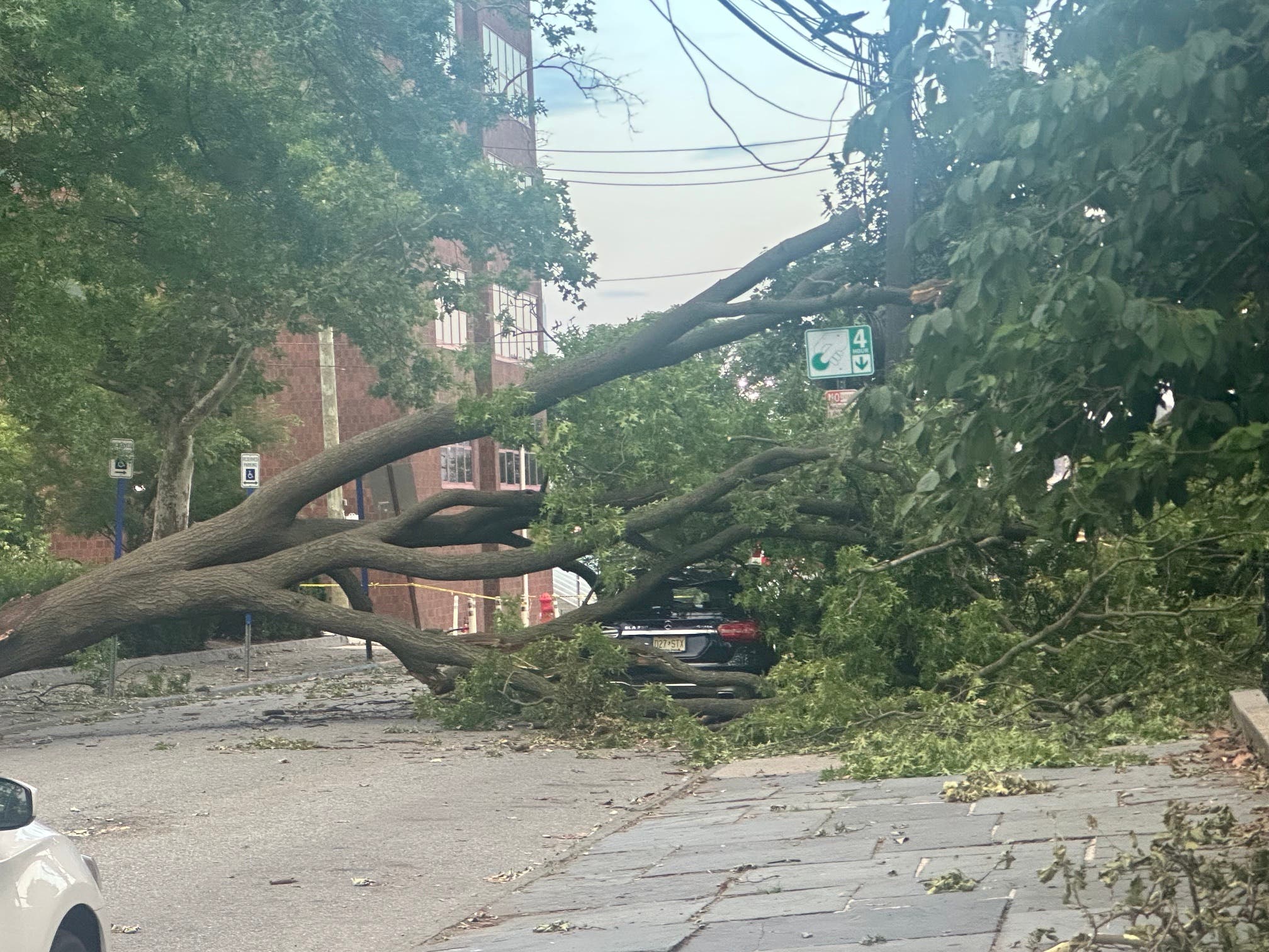
Trees fell all around Hoboken on Friday. This was the situation two blocks from the waterfront:
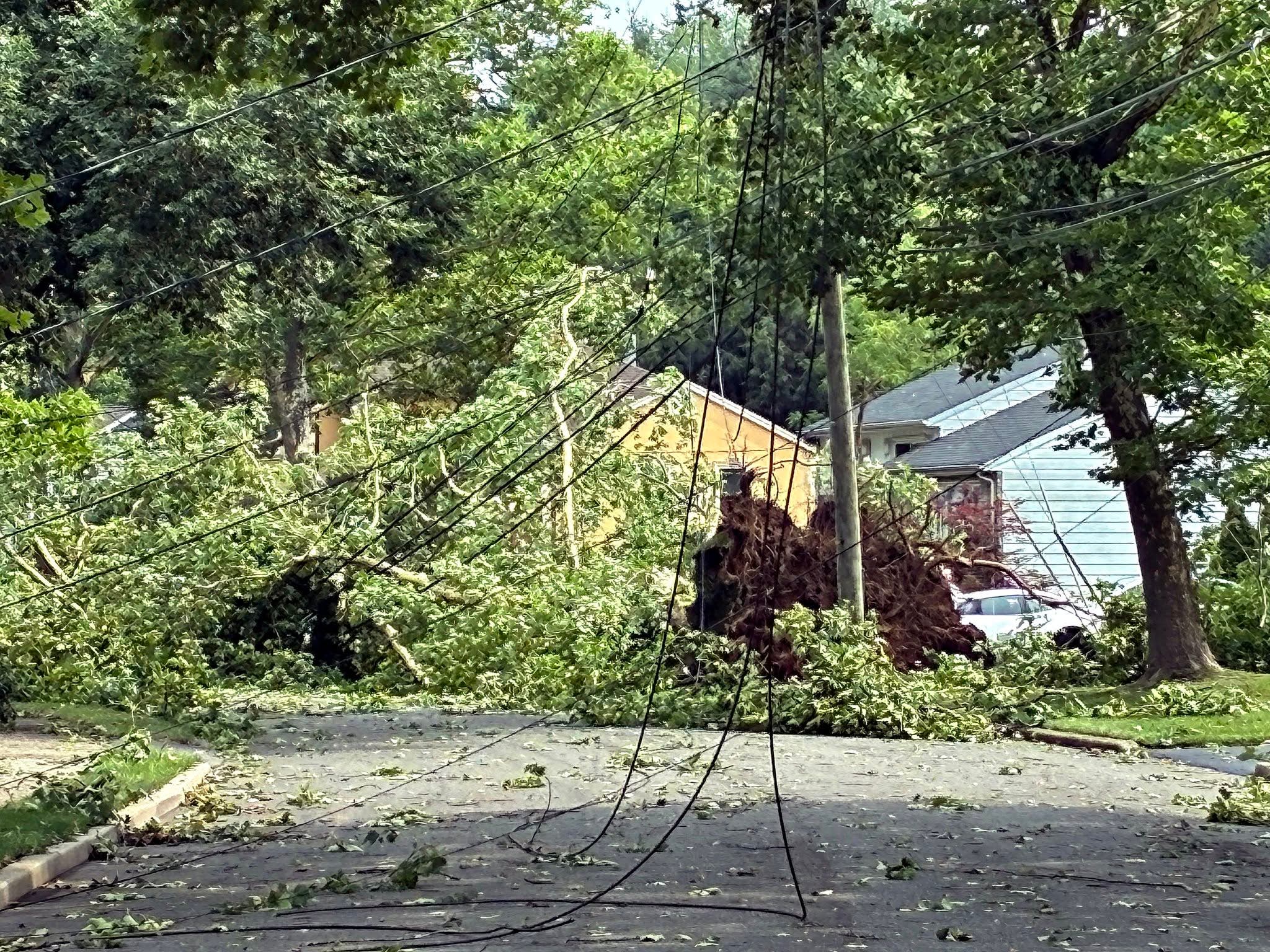
Meanwhile, to the west, the hard-hit town of Paramus declared a state of emergency due to damage:
- Keep an eye on the radar here.
- Check out the Accuweather Minutecast here.
- See a current map of all watches and warnings in New Jersey here.
- The NOAA (National Oceanic and Atmospheric Administration) keeps us informed about larger weather events. Follow them here.
Updated NWS forecasts, watches, and warnings in each county:
What about the rivers? This NWS map of the United States will show the potential for river flooding.
Get more local news delivered straight to your inbox. Sign up for free Patch newsletters and alerts.