Weather
Snowfall Map For Hoboken, Jersey City Updated: See How Much Will Fall
"The bulk of the snowfall totals will come in two separate batches," the NWS says. See what's in store for Hoboken and Jersey City.

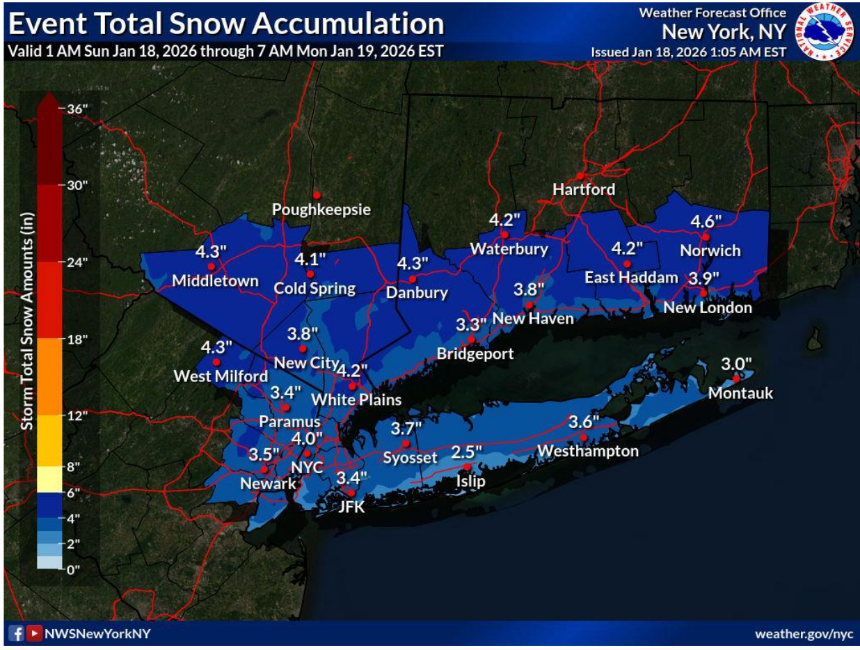
HUDSON COUNTY, NJ — After fluctuating forecasts, flakes fluttered to the ground in Hoboken, Jersey City, and elsewhere Saturday. And a winter weather advisory is in effect for Hudson County on Sunday (see map below).
The National Weather Service released early North Jersey snow totals Saturday. They include:
- Harrison, 1.5 inches
- Hoboken, 1 inch
- Newark, 2 inches
- Newark Airport, 1 inch
- Central Park (NYC), .5 inch
A new winter weather advisory is in effect for Sunday from 7 a.m. to 8 p.m. for Hudson and other North Jersey Counties, the NWS says. 1-3 inches may fall in the Hoboken/Jersey City area.
Find out what's happening in Hobokenfor free with the latest updates from Patch.
"The bulk of the snowfall totals will come in two separate batches," the NWS said. "The first will be this morning and mainly for areas north and west of NYC. There will then likely be a brief lull where precipitation gets lighter through the afternoon. Snowfall rates will then pick up again late this afternoon into tonight."
For updates, use the links below.
Find out what's happening in Hobokenfor free with the latest updates from Patch.
Track Storms Here
- Keep an eye on the radar here.
- Check out the Accuweather Minutecast here.
- See a current map of all watches and warnings in New Jersey here.
- The NOAA (National Oceanic and Atmospheric Administration) keeps us informed about larger weather events. Follow them here.
Updated NWS forecasts, watches, and warnings in each county:
Get more local news delivered straight to your inbox. Sign up for free Patch newsletters and alerts.