Weather
Coastal Flood Watch For Ocean City Saturday Night
Periods of heavy rain are expected in Ocean City on Saturday.

OCEAN CITY, NJ — A Coastal Flood Watch will be in effect for Ocean City Saturday night, according to the National Weather Service. The watch will be in effect from 5 p.m. to 11 p.m.
Strong northeast winds will push water and rough surf toward the coastline during higher-than-normal tides as we approach a new moon this weekend. Forecasters also predict periods of heavy rain, Ocean City officials said in a special weather statement Saturday morning.
Water levels are expected to peak in the hours around high tide on the bay side of Ocean City at the following times (with predictions on the mean low water scale):
Find out what's happening in Ocean Cityfor free with the latest updates from Patch.
- 8:01 p.m. Saturday (5.9 feet MLW)
- 8:32 a.m. Sunday (5.6 feet MLW)
- 8:50 p.m. Sunday. (6.8 feet MLW)
- 9:19 a.m. Monday (6.4 feet MLW)
- 9:37 p.m. Monday (6.1 feet MLW)
Visit www.ocnj.us/octides to compare those predictions to recent and historic tide levels.
Street flooding is likely prior to high tide and may last for several hours. Vehicles should be moved from areas that typically experience tidal flooding. The roads closer to the beach including Central and Wesley avenues are typically at higher elevation.
Find out what's happening in Ocean Cityfor free with the latest updates from Patch.
Parking will be available at the Trinity United Methodist Church at 20 North Shore Road in Marmora. Anyone looking to take advantage of this service should read this letter from Trinity first.
There is also a risk of high rip currents until 10 p.m. Saturday night. Swimmers should swim only at beaches guarded by the Ocean City Beach Patrol. Read more here: These Ocean City Beaches Will Be Guarded Through Sept. 16
Drivers should never attempt to drive through flooded streets or around barricades. City crews are out clearing storm drains in advance of the storm, but residents can prepare for the storm by making sure inlets near their home are clear of debris.
The following is the forecast for Ocean City through the weekend, according to the National Weather Service:
Today
Showers likely and possibly a thunderstorm. Some of the storms could produce heavy rain. Cloudy, with a high near 76. Northeast wind 15 to 17 mph. Chance of precipitation is 70%. New precipitation amounts between a tenth and quarter of an inch, except higher amounts possible in thunderstorms.
Tonight
Showers. Low around 65. Breezy, with a northeast wind 17 to 21 mph. Chance of precipitation is 80%. New precipitation amounts of less than a tenth of an inch possible.
Sunday
Showers before 8am, then rain, mainly after 8am. The rain could be heavy at times. High near 72. Windy, with an east wind 23 to 26 mph, with gusts as high as 38 mph. Chance of precipitation is 80%. New precipitation amounts between a quarter and half of an inch possible.
Sunday Night
Rain. The rain could be heavy at times. Low around 66. Windy, with an east wind 23 to 26 mph, with gusts as high as 37 mph. Chance of precipitation is 80%. New precipitation amounts between a quarter and half of an inch possible.
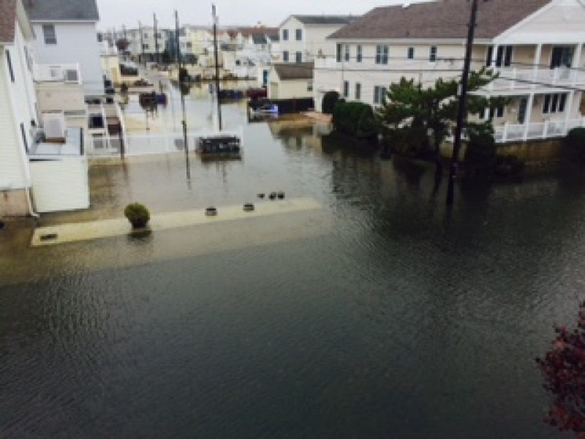
Patch file photo
Get more local news delivered straight to your inbox. Sign up for free Patch newsletters and alerts.