OCEAN CITY, NJ — A Flood Watch is in effect for Ocean City from 6 p.m. Thursday night through 6 p.m. Saturday night, May 19, according to the National Weather Service.
Ocean City may see 5 inches of rain over the next two days, according to the forecast. Flooding may be enhanced because of a new moon and strong northeast winds.
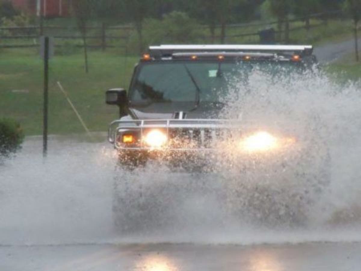
Residents and guests should be prepared to move vehicles, city officials said in a special weather statement issued Thursday evening.
Find out what's happening in Ocean Cityfor free with the latest updates from Patch.
Street flooding could occur prior to high tide and may last for several hours. The roads closer to the beach including Central and Wesley avenues are at higher elevation. These roads also offer the safest routes of travel across the length of the island.
Parking will be available at the Trinity United Methodist Church at 20 North Shore Road in Marmora. Those who plan to take advantage of this service should read this letter from Trinity.
Find out what's happening in Ocean Cityfor free with the latest updates from Patch.
High tides at the Ninth Street Bridge include:
- 10:44 p.m. Thursday, May 17
- 11:24 a.m. Friday, May 18
- 11:39 p.m. Friday, May 18
- 12:23 p.m. Saturday, May 19
- 12:37 a.m. Sunday, May 20
The National Weather Service predicts the highest tide at 5.9 feet on the mean low water scale on Friday night. See sampling of Ocean City historic tides for context: www.ocnj.us/octides.
Drivers should never attempt to traverse flood waters or drive around barricades. For police and fire department emergencies, call 911. For non-emergencies, call 609-399-9111.
Is Your Dog The Best? Enter Patch's Top Dog In NJ Contest And Win Prizes
The forecast for the next few days is as follows, according to the National Weather Service:
Thursday night: Showers. The rain could be heavy at times. Low around 59. East wind around 6 mph. Chance of precipitation is 100%. New precipitation amounts between a half and three quarters of an inch possible.
Friday: Showers. The rain could be heavy at times. High near 61. Breezy, with a northeast wind 15 to 23 mph. Chance of precipitation is 90%. New precipitation amounts between 1 and 2 inches possible.
Friday night: Showers before 2 a.m., then showers and possibly a thunderstorm between 2 a.m. and 5 a.m., then showers after 5 a.m. Some of the storms could produce heavy rainfall. Low around 57. Breezy, with an east wind 15 to 21 mph. Chance of precipitation is 100%. New rainfall amounts between a half and three quarters of an inch possible.
Saturday: Showers likely, then occasional showers and possibly a thunderstorm after 8 a.m. Some of the storms could produce heavy rain. High near 68. South wind 11 to 17 mph. Chance of precipitation is 80%. New rainfall amounts between a quarter and half of an inch possible.
Saturday night: Occasional showers and possibly a thunderstorm before 8pm, then a chance of showers and thunderstorms after 8pm. Low around 63. Chance of precipitation is 80%. New rainfall amounts of less than a tenth of an inch, except higher amounts possible in thunderstorms.
Sunday: A chance of showers. Mostly cloudy, with a high near 73. Chance of precipitation is 30%.
Sunday night: Mostly cloudy, with a low around 64.
Patch file photo
Get more local news delivered straight to your inbox. Sign up for free Patch newsletters and alerts.