Crime & Safety
Snow, 'Extreme' Cold Possible: N.J. Holiday Weekend Forecast
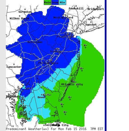
N.J. drivers could be dealing with slick, snowy roads when they get back to work on Tuesday.


The coldest weather of the season is due to arrive Friday, and snow is possible for N.J. during the holiday weekend and early next week, forecasters with the National Weather Service said.
The NWS has issued a Hazardous Weather Outlook for all of New Jersey, warning residents of wind chills of 10 to 25 below zero late Saturday and into Sunday.
Read more: THESE N.J. Areas Could Have Estrogen Contaminating Your Drinking Water
Find out what's happening in Ocean Cityfor free with the latest updates from Patch.
“The coldest air of the season will arrive this weekend,” the Hazardous Weather Outlook said. Little relief will be offered during the daytime hours. According to the NWS, wind chills will be near zero during the day Saturday.
Accuweather predicts temperatures could plunge to 20 degrees below average over the weekend. “Temperatures will be 30 degrees lower this weekend, when compared to highs at midweek,” Accuweather said.
Find out what's happening in Ocean Cityfor free with the latest updates from Patch.
Forecasters also say they are tracking a low pressure system that could bring snow to the region early next week.
The NWS has offered no accumulation estimates, predicting some snow will fall Saturday, but there is a 60 percent chance of snow Monday night. The Weather Channel is currently predicting up to three inches of snow in the region.
We’ll share more information as it comes in.
In the meantime, here is the current forecast, according to the NWS:
Thursday night: Mostly clear, with a low around 13. West wind 7 to 13 mph.
Friday: Partly sunny, with a high near 24. Calm wind becoming southwest 5 to 7 mph in the morning.
Friday night: Scattered snow showers. Mostly cloudy, with a low around 16. South wind 5 to 13 mph becoming west after midnight. Chance of precipitation is 30 percent. New snow accumulation of less than a half inch possible.
Saturday: Scattered flurries. Partly sunny, with a high near 16. Windy, with a northwest wind 17 to 22 mph increasing to 24 to 29 mph in the afternoon. Winds could gust as high as 44 mph.
Saturday night: Partly cloudy, with a low around -1. Blustery.
Sunday: Sunny, with a high near 14.
Sunday night: Partly cloudy, with a low around 9.
Monday: A chance of snow. Mostly cloudy, with a high near 32. Chance of precipitation is 40 percent.
Monday night: Snow likely. Cloudy, with a low around 29. Chance of precipitation is 60 percent.
Tuesday: Rain and snow likely. Mostly cloudy, with a high near 45. Chance of precipitation is 60 percent.
Tuesday night: A chance of rain and snow. Mostly cloudy, with a low around 30. Chance of precipitation is 30 percent.
Get more local news delivered straight to your inbox. Sign up for free Patch newsletters and alerts.