Politics & Government
Ocean City Council Approves Updates To FEMA Maps
City council addressed the issue at its meeting last week.

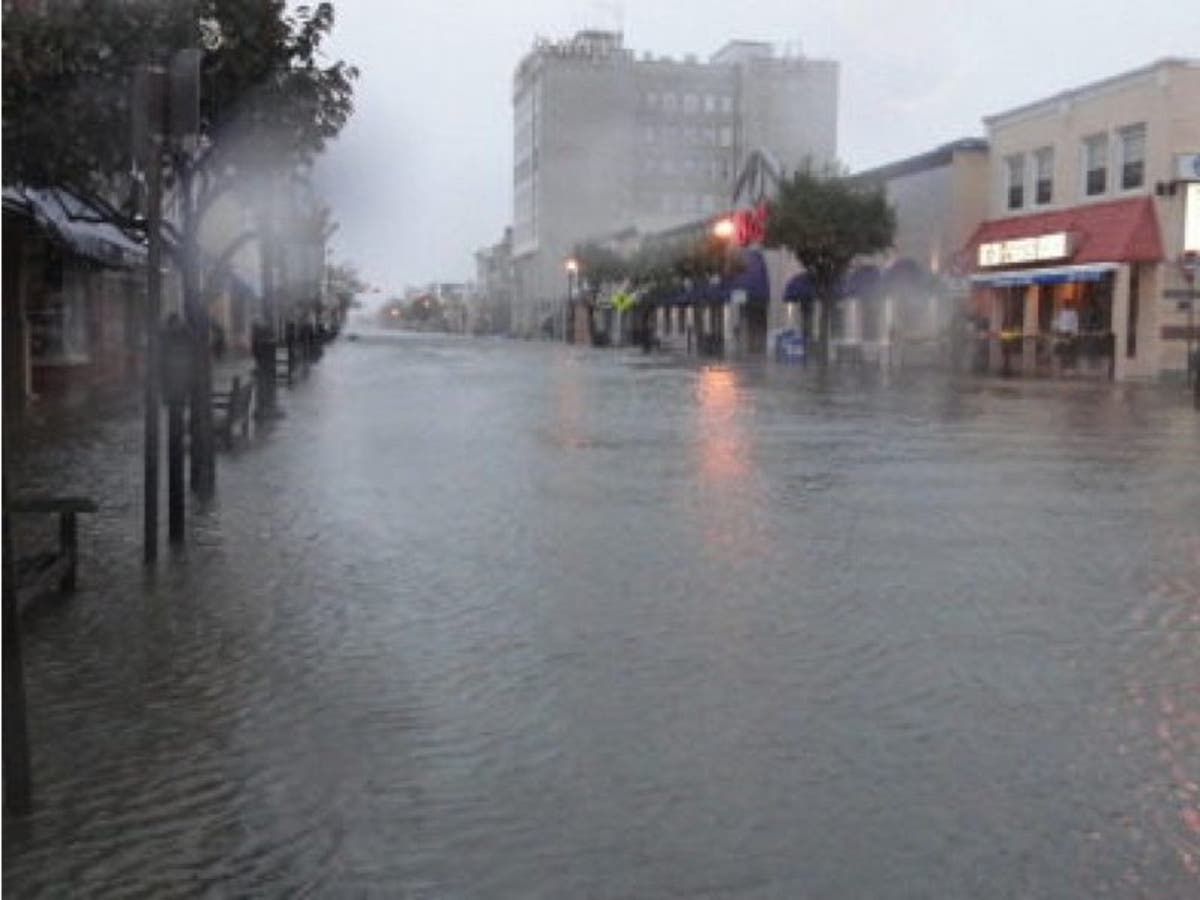
OCEAN CITY, NJ — With the prospect of more flooding threatening to hit Ocean City this week, council approved legislation last week that brings its FEMA Flood Insurance Rate Maps in line with updated maps issued by the agency.
City Council unanimously approved a proposed ordinance on second reading to revise its maps during its meeting on Thursday night, Sept. 14. Ocean City officials advise residents that the change won’t have a substantial impact on insurance premiums.
The legislation updates maps that are from 1984. Since they were initially issued, FEMA has released updated advisory maps that apply to new construction and substantially renovated homes in Ocean City, according to officials.
Find out what's happening in Ocean Cityfor free with the latest updates from Patch.
“Substantially renovated homes” are defined as renovations that cost more than 50 percent of the value of the home. These homes, as well as new construction, in the “Coastal A” zone of Ocean City will be the only homes that are impacted, according to officials.
Homes classified as “Coastal A” are homes built using techniques designed to limit damage caused by “wave action.” The new maps available for the public to review online at www.ocnj.us/flood-Hazards-Maps/ and at the Knight Building at 12th Street and Haven Avenue.
Find out what's happening in Ocean Cityfor free with the latest updates from Patch.
Get more local news delivered straight to your inbox. Sign up for free Patch newsletters and alerts.