Weather
Flood Watch Issued For Livingston Into Tuesday: NWS
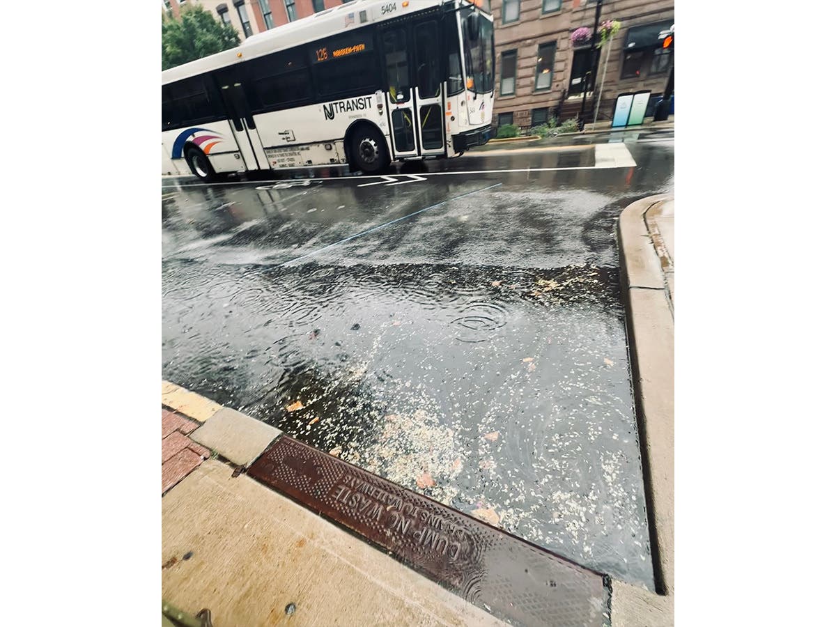
More than an inch of rain could fall into early Tuesday morning, the NWS said in a Hazardous Weather Outlook for North Jersey.

LIVINGSTON, NJ — The National Weather Service has issued a flood watch for Essex County from 11 p.m. to 10 a.m., as well as for Bergen, Hudson, Passaic, and Union Counties.
Several people have already died in flash floods in the New Jersey/Pennsylvania region this summer.
The Outlook warns that heavy rain and wind gusts will start late Monday night and continue throughout the morning.
Find out what's happening in Paramusfor free with the latest updates from Patch.
The NWS says: "Showers and thunderstorms could produce locally heavy rainfall that leads to scattered areas of flash flooding, mainly late tonight. Isolated strong to severe thunderstorms are possible during this time as well.
"A frontal system will be moving through the region Tuesday into Tuesday evening. Showers and thunderstorms could produce locally heavy rainfall Tuesday morning that leads to scattered areas of flash flooding, mainly early Tuesday morning, during the morning commute. Isolated strong to severe thunderstorms are possible Tuesday."
Find out what's happening in Paramusfor free with the latest updates from Patch.
Forecasts change, of course. So peek at the radar and current forecast by using the links below.
Click Below For Current Information
- Check out the North Jersey radar on Accuweather here.
- See the NWS forecast, watches, and warnings for Livingston here.
- See the tide times for the Hudson River here.
- See the tides on the Hackensack and Rahway rivers.
- See the Accuweather Minutecast.
Get more local news delivered straight to your inbox. Sign up for free Patch newsletters and alerts.