Neighbor News
Lake Parsippany Dilemma Part of Your Solution "Conformance Regional Planning" Breath Life Into your possibilities.
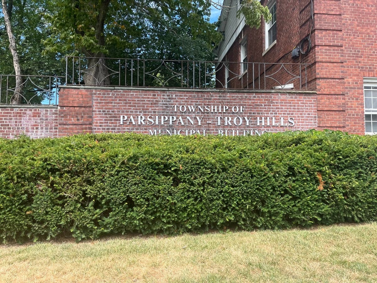
Parsippany although in the Planning Zone of the Highlands has the option to voluntarily conform and reap benefits in better land management.

CITIZENS OF LAKE PARSIPPANY LEARN WHAT CONFORMANCE CAN DO FOR YOU. ASK WHY IS PARSIPPANY NOT PARTICIPATING FIND THE REAL FACTS NOT THE HYPE ABOUT REGIONAL PLAN CONFORMANCE BENEFITS TO YOUR FUTURE AND PRESENT QUALITY OF LIFE.
The Lake Parsippany Dilemma
Highlands Conformance; which we are entitled to under the right administration has a component which engages Lake Communities. This Sub-Zone has unique policies to prevent degradation of water quality, harm to lake ecosystem, and natural aesthetic values.. More $$$$$ could be had if only we learned more about the benefits.
From NJHighlands Publication
Find out what's happening in Parsippanyfor free with the latest updates from Patch.
LAKE COMMUNITY & WILDLIFE MANAGEMENT SUB-ZONES Once the three primary zones and the two sub-zones (Environmentally Constrained Existing Community and Conservation) were delineated, the Lake Management Areas are overlaid for the development of the Lake Community Zone. The Lake Community Zone consists of patterns of community development around lakes within the Existing Community Zone. The LANDS model utilized lakes 10 acres or greater to delineate Lake Management Areas that extend to a maximum of 1,000 feet from the lake shoreline in order to protect water quality, resource features, shoreline development recreation, scenic quality and community character. The delineation of the Lake Community Zone exclusively includes those areas where the Lake Management Area (1,000 foot buffer) coincides with the Existing Community Zone or the Existing Community Environmentally Constrained sub-zone.
Lake Parsippany is stocked with trout.
Find out what's happening in Parsippanyfor free with the latest updates from Patch.
Areas managed by the United States Fish and Wildlife Service as part of the National Wildlife Refuge System and areas administered by the NJDEP Division of Fish & Wildlife’s Bureau of Land Management as part of the Wildlife Management Area System were extracted from the Preserved Lands Indicator. These areas are part of a network of lands and waters for conservation, management, and where appropriate, restoration of fish, wildlife, and plant resources and their habitats and permit compatible wildlife-dependent recreational uses, such as hunting, fishing, wildlife observation and photography, and environmental education and interpretation. The delineation of the Wildlife Management Sub-Zone exclusively includes these areas with no minimum mapping threshold. These areas superseded the vast majority of the underlying protection zone.
CONTACT NJ Highlands Council or New Jersey Highlands Coalition, Boonton.