Weather
NJ Weather: Timeline For Severe Thunderstorms, Damaging Winds
Traffic's already a mess, and the downpours are already here. But it's supposed to get worse, with damaging winds. Find out where and when.


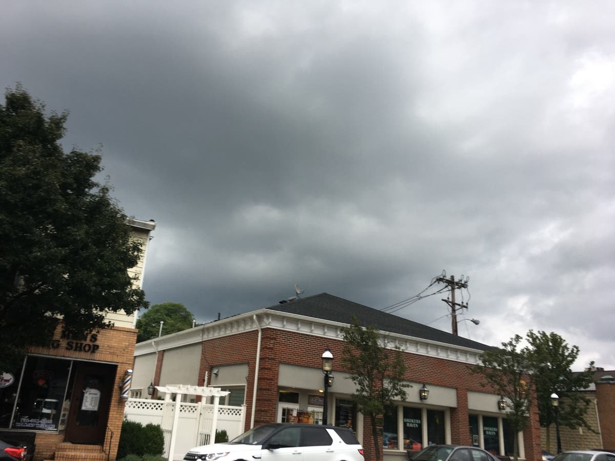
Traffic's already and mess, and we've already had downpours. But forecasters say that more and worse is coming to New Jersey as severe storms are approaching.
The National Weather Service has issued a hazardous weather outlook for the entire state, saying some thunderstorms on Wednesday afternoon and evening may produce locally damaging winds, as well as heavy downpours that may cause localized flooding.
More is expected on Thursday and Friday, when periods of heavy rain may lead to localized flooding. Thunderstorms are also likely. The coast will get less of it, but rip tides will be a problem for swimmers.
Find out what's happening in Point Pleasantfor free with the latest updates from Patch.
As the roads have gotten wetter, accidents are already happening. Traffic has clogged virtually every major highway in New Jersey. A tractor trailer overturned on Route 206 on Wednesday, closing the roadway in both directions at the Atsion Lake/Park Entrance in Shamong Township.
Newark Liberty International Airport also was experiencing issues:
Find out what's happening in Point Pleasantfor free with the latest updates from Patch.
Due to WEATHER/THUNDERSTORMS traffic mgmt prgrm causing some arriving flight delays averaging 1 hour and 17 minutes. #EWR
— EWR Flight Delays (@FlyFAA_EWR) August 1, 2018
Here is some of what to expect:
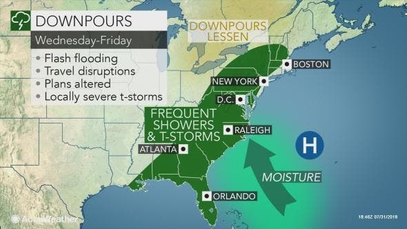
While the sun will emerge at times for several hours, there will be a risk of locally gusty and severe thunderstorms, according to AccuWeather. During Wednesday afternoon and evening, the risk of thunderstorms with damaging winds and power outages is greatest.
Because of the wet state of the soil, waterlogged trees can easily be toppled by moderate wind gusts, according to AccuWeather.
Motorists and airline passengers should be prepared for delays related to flooding, locally severe thunderstorms and poor visibility, according to AccuWeather.
Urban and small stream flooding are likely, according to AccuWeather. The additional rainfall this week will have some of the large rivers on the rise as well.
"The pattern is very similar to that of last week with a southward dip in the jet stream over the Midwest and a northward bulge in the jet stream over the Atlantic Ocean," AccuWeather Lead Long-Range Meteorologist Paul Pastelok said in a release.
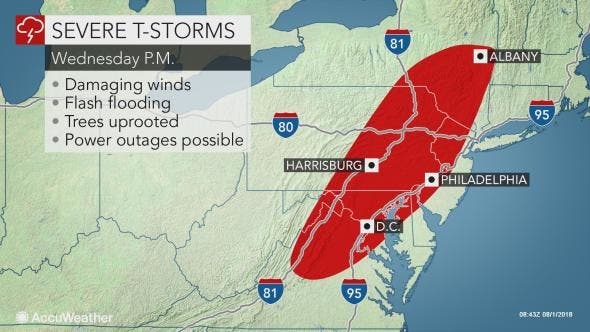
Here is the forecast timeline:
- Wednesday: Showers likely, with thunderstorms also possible after noon. Some of the storms could produce gusty winds and heavy rain. Mostly cloudy, with a high near 83. Southeast wind 5 to 11 mph becoming south in the afternoon. Chance of precipitation is 60%. New rainfall amounts between a quarter and half of an inch possible.
- Wednesday night: A chance of showers and thunderstorms. Mostly cloudy, with a low around 71. South wind 6 to 8 mph. Chance of precipitation is 50%. New rainfall amounts between a tenth and quarter of an inch, except higher amounts possible in thunderstorms.
- Thursday: Showers and thunderstorms likely, mainly after 2pm. Some of the storms could produce gusty winds and heavy rain. Mostly cloudy, with a high near 84. Southwest wind 6 to 8 mph. Chance of precipitation is 70%. New rainfall amounts between a tenth and quarter of an inch, except higher amounts possible in thunderstorms.
- Thursday night: Showers and thunderstorms likely, mainly before 2am. Mostly cloudy, with a low around 71. South wind around 5 mph becoming calm in the evening. Chance of precipitation is 60%. New rainfall amounts between a tenth and quarter of an inch, except higher amounts possible in thunderstorms.
- Friday: Showers and thunderstorms likely, mainly after 2pm. Mostly cloudy, with a high near 82. South wind 5 to 8 mph. Chance of precipitation is 70%. New rainfall amounts between a quarter and half of an inch possible.
- Friday night: Showers and thunderstorms likely, mainly before 2am. Mostly cloudy, with a low around 69. Chance of precipitation is 60%. New rainfall amounts between a quarter and half of an inch possible.
Tom Davis photo
Get more local news delivered straight to your inbox. Sign up for free Patch newsletters and alerts.