Weather
Storm Alberto Could Ruin New Jersey's 1st Weekend Of June
See where the storm is headed and what it means for New Jersey.

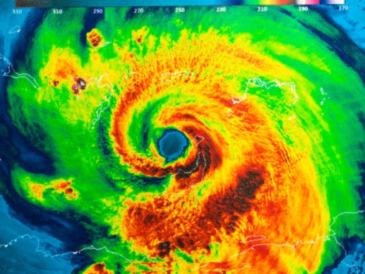

Though Subtropical Storm Alberto has already crashed ashore on Florida's Gulf Coast and is expected to churn through the United States on a path far west of New Jersey, it still will impact the regon, forecasters predict (see forecast below).
Indeed, a surge of tropical air will cause downpours to spread and the risk of flash flooding to increase over New Jersey and the northeastern United States late this week and into this weekend.
The storm system will create unsettled weather with rain through the weekend that could certainly ruin any outdoor plans, forecasters say.
Find out what's happening in Point Pleasantfor free with the latest updates from Patch.
New Jersey could see some rain on five straight days from Thursday to next Monday.
pic.twitter.com/Q0vALNzNjD
— Tom Davis (@NJShorePatch) May 30, 2018
The storms could spell problems for boaters and swimmers in New Jersey. Already, the state has had several mishaps, with two people still missing and two dead from boating accidents this week. Read more: 2 Still Missing, 2 Dead In NJ Water Mishaps As Searches Go On
Find out what's happening in Point Pleasantfor free with the latest updates from Patch.
The storm, the first of the 2018 season, hit the Florida Panhandle Monday and is dumping up to 8 inches of rain on Alabama and other southern states. It is expected to drench areas as far north as Chicago. After that, it will track through Michigan and into Canada, according to the National Weather Service.
The vast majority of locations will not experience a repeat of the tragic and devastating flash flooding that occurred in Ellicott City, Maryland, from this past Sunday. However, there is the likelihood of isolated flash flooding incidents in the upcoming weather pattern, according to AccuWeather.
From late this week through this weekend, a general 1-3 inches of rain is likely with highly localized amounts up to 6 inches possible, according to AccuWeather. As the pattern evolves, motorists should be prepared for localized, torrential downpours that may quickly flood streets and low-lying portions of highways.
For New Jersey, where humid air may linger, Saturday and Sunday could be the wettest days with an area of drenching rain instead of showers and thunderstorms.
pic.twitter.com/OrRDCOkl6U
— Tom Davis (@NJShorePatch) May 30, 2018
Here is the forecast:
- Wednesday: A slight chance of showers after 2pm. Patchy fog before 10am. Otherwise, partly sunny, with a high near 72. East wind 7 to 9 mph. Chance of precipitation is 20%.
- Wednesday night: Showers likely, mainly after 2am. Mostly cloudy, with a low around 61. East wind around 8 mph. Chance of precipitation is 60%. New precipitation amounts of less than a tenth of an inch possible.
- Thursday: Showers likely and possibly a thunderstorm before 8am, then scattered showers and thunderstorms between 8am and 2pm, then showers likely and possibly a thunderstorm after 2pm. Cloudy, with a high near 76. Southeast wind around 8 mph. Chance of precipitation is 60%. New rainfall amounts of less than a tenth of an inch, except higher amounts possible in thunderstorms.
- Thursday night: Showers likely and possibly a thunderstorm before 2am, then scattered showers and thunderstorms after 2am. Cloudy, with a low around 67. Southeast wind 5 to 7 mph. Chance of precipitation is 60%. New rainfall amounts between a tenth and quarter of an inch, except higher amounts possible in thunderstorms.
- Friday: Scattered showers and thunderstorms, mainly after 2pm. Mostly cloudy, with a high near 86. Calm wind becoming southwest 5 to 8 mph in the afternoon. Chance of precipitation is 30%. New rainfall amounts of less than a tenth of an inch, except higher amounts possible in thunderstorms.
- Friday night: Scattered showers and thunderstorms. Mostly cloudy, with a low around 68. Chance of precipitation is 50%. New precipitation amounts of less than a tenth of an inch, except higher amounts possible in thunderstorms.
- Saturday: Scattered showers. Mostly cloudy, with a high near 78. Chance of precipitation is 50%.
- Saturday Night: Scattered showers. Mostly cloudy, with a low around 59. Chance of precipitation is 50%.
- Sunday: A chance of showers. Mostly cloudy, with a high near 70. Chance of precipitation is 40%.
- Sunday night: A chance of showers. Mostly cloudy, with a low around 56. Chance of precipitation is 30%.
Take a look at THIS pic of Pensacola as #Alberto approaches the Florida Coast! Lynn Rodriguez @StormHour @spann @NWSMobile pic.twitter.com/NZPsXoc7f7
— Jake Dunne, MS (@Jake_WPMI) May 29, 2018
Written by Adam Nichols and Tom Davis
NOAA photo
Get more local news delivered straight to your inbox. Sign up for free Patch newsletters and alerts.


