Weather
Nor'easter Impacts In South Brunswick: Snow Total, School Update
A major storm hit South Brunswick. Here's the latest.


(This post was updated at 6 p.m. on Monday, Feb 1)
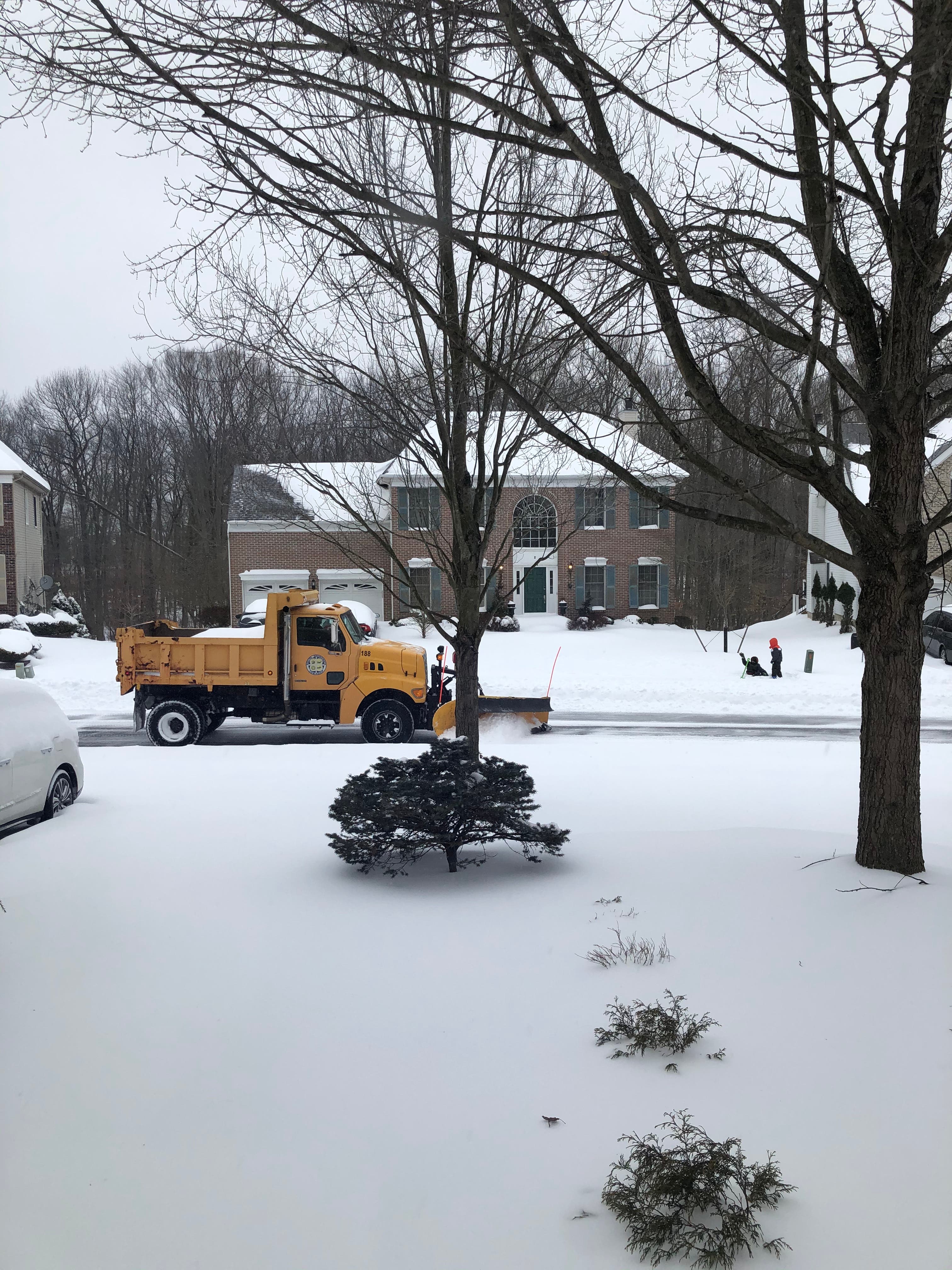
SOUTH BRUNSWICK, NJ – A "major" nor'easter hit the South Brunswick area on Sunday, continuing into Monday. According to the South Brunswick police Department, as of 12 p.m., the township received around 10 inches of snow. Roads remain hazardous and plow crews are working to keep roads clear.
New Jersey declared a state of emergency, suspended trains and buses and restricted travel on highways. Patch is providing regular updates on the details as well as school closings.
Find out what's happening in South Brunswickfor free with the latest updates from Patch.
Gov. Phil Murphy said the snowstorm will last longer than expected and could bring more snow, flooding, highway shutdowns and power outages to the state on Monday night and Tuesday.
"Let me say this unequivocally: This is a big one. And it's going to be with us at this point, we think, until tomorrow night," the governor said during a news briefing in Woodbridge on Monday.
Find out what's happening in South Brunswickfor free with the latest updates from Patch.
As of 12 p.m. the township reported a total of 123 incidents including car crashes.
- Crashes / Motor Vehicle Assists: 34
- EMS calls: 4
- Fire calls: 2
- Homes without power: 5
Snow covered #SouthBrunswick this morning. Right now outside it is a mix of snow and sleet. As of 10 am, 9 inches of snow have fallen. Stay off the roads as plow crews continue to work. pic.twitter.com/4la5ExBZjT
— So Brunswick PD (@SoBrunswickPD) February 1, 2021
(Pic: Azra Baig)
Here's what else:
Schools: It's a snow day for South Brunswick students. No virtual classes on Monday. Tuesday could also be a snow day or the district could switch to virtual. A decision will be made later in on Monday.
Public Offices and Buildings: The South Brunswick Public Library building remained closed on Monday due to inclement weather. All municipal buildings will remain closed for the day.
Trash and Recycling: Trash and recycling collections for Monday have been cancelled. Operations are scheduled to resume on Tuesday, Feb. 2. Residents have been advised to have all pending material from Monday and regularly scheduled Tuesday material out for Tuesday morning. Call (732)329-4000 Ext 7274 for more details.
Power outages: As of 8 a.m., no major power outages were reported. Here are the numbers to call in case of a power outage:
- PSEG: (800) 436-PSEG (7734) or text "OUT" to 4PSEG (47734)
- JCP&L: (888) -544-4877
The National Weather Service labeled the "major" system a "nor'easter" since it's expected to produce strong, sustained damaging winds and precipitation over a 24-hour period on Monday and into Tuesday.
The storm was expected to be fierce enough to cause power outages and more was expected to arrive overnight and into Tuesday (see the forecast below).
Monday: Snow could be heavy. High near 30, with northeast wind around 20 mph. Chance of precipitation is 100 percent. Total daytime snow accumulation of 8 to 12 inches possible.
Monday night: Snow could be heavy at times, with a low of 29. North wind 15 to 20 mph, with gusts as high as 35 mph. Chance of precipitation is 90% percent. New snow accumulation of 3 to 5 inches possible.
Tuesday: Snow likely. High near 35 with north wind 10 to 15 mph. Chance of precipitation is 60 percent. New snow accumulation of less than one inch possible.
Tuesday night: Possible snow showers and freezing rain before 10 p.m., then a chance of snow showers between 10 p.m. and 2 a.m. Cloudy, with a low around 25. Chance of precipitation 60 percent. Little or no ice accumulation is expected. New snow accumulation less than a half inch possible.
Get more local news delivered straight to your inbox. Sign up for free Patch newsletters and alerts.


