Community Corner
Winter's Last Whimper? Hour-By-Hour Look At Friday's Wall Forecast
Rain and some snow are in the forecast, and could make driving hazardous, especially in the afternoon or early evening.

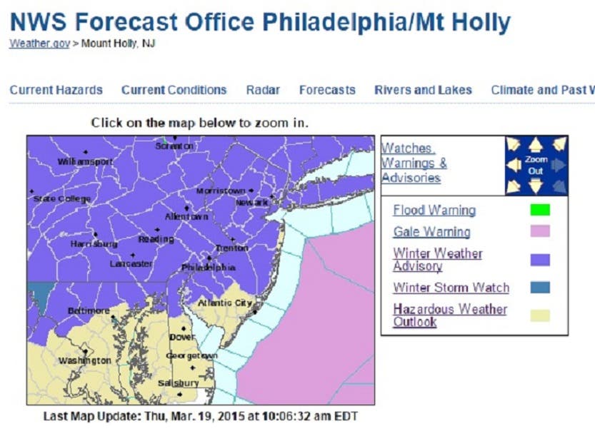
Normally, you might like the color purple. It’s the color of lilacs and crocuses ... and spring.
But the purple on the map above? Not the kind we like. Yes, we are getting another round of winter weather, a sloppy kiss farewell from Old Man Winter (we hope it’s farewell, anyway).
The National Weather Service’s Mount Holly office has issued a winter weather advisory starting at 6 a.m. Friday, with some sort of precipitation possible. The forecast is calling for a maximum of 2 inches of snow, but for the sloppy conditions to continue until well past the evening commute.
Find out what's happening in Wallfor free with the latest updates from Patch.
Two inches of snow means it won’t be enough to plow, but it will be enough to make driving conditions hazardous, especially with temperatures hovering around freezing.
The good news? Anything we get should disappear Saturday, as highs in the low 50s are predicted.
Find out what's happening in Wallfor free with the latest updates from Patch.
Here’s an hour-by-hour look at what Friday and Saturday should bring to Wall:
Friday
Midnight-5 a.m.: Cloudy, temperature falls to 27 degrees.
6-10 a.m.: Temperature rises to 35 degrees, light snow.
11 a.m.-3 p.m.: 34 degrees, light snow continues.
4-9 p.m.: 34 degrees. Rain may mix with snow, wind picks up to 16 mph.
10 p.m.-midnight: 33 degrees, light snow still possible.
Saturday
1-4 a.m.: 31 degrees, light snow stops.
5-8 a.m.: 30 degrees, slight chance of rain.
9 a.m.-noon: 42 degrees, some clouds.
1-5 p.m.: High of 51 degrees, clouds clearing.
Get more local news delivered straight to your inbox. Sign up for free Patch newsletters and alerts.