


Sunday
10:15 a.m.: Tom Kines, senior meteorologist with AccuWeather.com said the worst is over for Essex County. "The heaviest rain should be done with, but it's still going to be windy during the course of the afternoon. Still going to see gusts over 40 mph," said Klines.
He said Tropical Storm Irene is north of New York City and heading up to southwest Connecticut.
Find out what's happening in West Orangefor free with the latest updates from Patch.
He said Essex County saw about nine inches of rain during the storm.
"And it wouldn't be shocking to see the sun make an appearance later," said Klines.
Find out what's happening in West Orangefor free with the latest updates from Patch.
9 a.m.: Irene was downgraded to a Tropical Storm with maximum wind speeds at 65 mph, The Weather Channel reports.
8 a.m: Irene has picked up speed, now heading towards New York City at 25 mph with wind speeds of 75 mph. Expected to make landfall in New York City at 9:30 a.m.
7 a.m.: Mike Pigott, senior meteorologist with AccuWeather.com, tells Patch.com that Irene "likely will be tropical storm" when it hits the New York City metro area.
Pigott said bands of torrential rain and wind gusts will continue through Sunday morning, with a possibility of isolated thunderstorms. He said, despite the possible downgrade of the storm, it's still "a large storm" that can cause damage, "With high wind speeds and saturated ground, it likely will uproot trees."
6:40 a.m.: The Weather Channel reports that the center of Irene is expected to go over or very near New York City at around 10 a.m.
Millburn is experiencing major flooding in the downtown area since about 3 a.m. Read more .
6 a.m.: Irene has picked up speed and is moving at 18 mph with maximum wind speeds at 75 mph. Irene made landfall this morning around Little Egg Inlet, New Jersey, around 5:35 a.m., The Weather Channel reports. The center of Irene is about 100 miles south, south-west from New York City.
Saturday
11 p.m.: Irene is expected to make landfall near Long Island, NY around midday Sunday according to The National Hurricane Center.
Steve Wistar, a senior meteorologist with AccuWeather.com, said by telephone that Irene will hit the New York Metropolitan area by Sunday morning, "The worst of the storm is going to be between 6 a.m. and noon."
10:20 p.m.: The Jersey Shore started to feel the heavy impact of Hurricane Irene Saturday night as strong wind gusts and driving rains became more frequent, causing slick roads, poor visibility and plenty of reasons to find shelter.
In Atlantic City, a power outage was reported throughout the city.
In Brick, heavy rains caused some minor flooding in some areas.
Few stores were open. Even 24 hour standbys such as Wawa and 7-Eleven were closed and, oftentimes, boarded and taped up. Many homes were also dark, especially in Point Pleasant Beach, Bay Head and neighborhoods close to the water. Many residents flocked to county-run shelters in Toms River and Manahawkin. So many, in fact, that the main shelter at Toms River North High School was . A second shelter opened at Toms River Intermediate School North. In Barnegat, residents from as far away as Atlantic City at that township's high school, which was also being used as a shelter.
The Manasquan River was beginning to slightly overflow its banks as high tide approached Saturday night. Residents in Point Pleasant Beach moved their cars to higher grounds on various residential streets. In Brick, a marina parking lot on Princeton Avenue served as a makeshift community lot.
9 p.m.: Hurricane Irene remains a Category 1 storm with winds of 80 mph.
The Weather Channel reports that the center of Irene is about 100 miles south-southwest of Ocean City, Maryland and 285 miles south-southwest of New York City. The storm is moving at 16 mph.
5:20 p.m.: The National Weather Service says Hurricane Irene could spawn tornadoes as it moves up the coast.
5 p.m.: Hurricane Irene remains a Category 1 story with maximum wind speeds at 80 mph according to The Weather Channel. Irene is now moving at 13 mph.
The center of Irene is located about 50 miles south-southeast of Norfolk, Virginia. Irene is expected to make landfall on Sunday along Long Island, The Weather Channel said.
2 p.m.: Irene continues at 85 mph, moving at 15 mph.
Irene is moving north-northeastward over eastern North Carolina Saturday midday, AccuWeather reports.
State climotologist Dr. David A. Robinson told Patch what New Jersey should expect.
Robinson said residents should expect street, yard and likely basement flooding as well.
He said Irene will bring tropical storm force winds sustained (39 mph plus) and gusts up to 60 mph in Essex county. He said "trees will likely come down and with them, power outages."
Robinson said the hurricane's track is very similar to the past several days. "It is going to be interesting to see if Irene retains hurricane status up the NJ coast and if it comes onshore. If it makes landfall it will be only the third hurricane to do so since colonial times, the others being 1821 and 1903."
11 a.m.: Hurricane Irene has picked up speed and is moving at 15 mph. Maximum wind speeds remain at 85 mph. The center of Irene is located about 120 miles south of Norfolk, Virginia, The Weather Channel reports.
9:40 a.m.: Tom Kines, a senior meteorologist with AccuWeather.com, said Irene likely will be a Category 1 hurricane when it hits New Jersey Sunday morning and continues into the New York City metropolitan area. "It may weaken some, but I still think it will be a Category 1 tomorrow morning," he said. "Right now, it's hugging the coastline of North Carolina."
Kines said the New York City metropolitan area will see rainfall of four to eight inches and sustained winds of 30 to 40 mph. He said Irene likely will become a tropical storm by the time it hits Connecticut late Sunday.
8 a.m.: Hurricane Irene has been downgraded to Catergory 1 with maximum wind speeds of 85 mph. Irene made landfall as a Category 1 storm shortly before 8 a.m. near Cape Lookout, North Carolina, according to The Weather Channel.
Irene is moving at 14 mph.
Friday
11 p.m.: Hurricane Irene slowed down a sliver as of 11 p.m. and is now moving at 13 mph. Irene is located 195 miles south-southwest of Cape Hatteras, North Carolina, The Weather Channel reports. The Category 2 storm is expected to make landfall around 8 a.m. between Morehead City and Cape Hatteras in North Carolina. Maximum wind speeds continue at 100 mph.
AccuWeather.com is reporting that as the heavy rain bands hit eastern parts of North Carolina, they could bring tornadoes.
8:08 p.m.: Alan Reppert, a senior meteorologist with AccuWeather.com, said Hurricane Irene is about 180 miles south-southwest of Cape Lookout, N.C. He said it is a Category 2 hurricane with winds of roughly 100 mph.
Reppert said Irene will touch down in New Jersey sometime early Sunday, hitting the New York metropolitan area as a Category 1 hurricane by Sunday morning.
"The biggest affects from this is going to be rainfall," he said. "With rain and winds, it will cause problems with power." The meteorologist said the New York area should expect between five and 10 inches of rain with sustained winds of 50 mph or more.
5 p.m.: Maximum wind speeds remain at 100 mph The outer bands of the Category 2 hurricane are bringing rain and thunderstorms to eastern sections of North and South Carolina already, and will continue to move northward overnight.
Irene continues to move at 14 mph and will hit the New York metropolitan area with possible hurricane conditions later Saturday night and Sunday. The hurricane will bring destructive wind, heavy flooding rain and storm surge with coastal flooding. Tropical storm conditions are expected in the western parts of New Jersey as well.
2:30 p.m.: Maximum winds have decreased to 100 mph as Hurricane Irene continues to chug along the East Coast at 14 mph The outer bands of the hurricane are sweeping the coasts of North and South Carolina. The Category 2 hurricane is expected to make landfall Saturday morning on east North Carolina.
New Jersey will begin to experience tropical storm conditions beginning Saturday night.
11 a.m.: Irene continues to travel at 14 mph, with maximum wind speeds at 105 mph As of 11 a.m., The Weather Channel is reporting that the center of the hurricane is located about 330 miles south-southwest of Cape Hatteras, North Carolina.
8:55 a.m.: As of Friday morning, Hurricane Irene was a strong Category 2 hurricane.
Irene is still moving 14 mph according to the Weather Channel. She is off the coast of North Carolina, with 110 m.p.h winds.
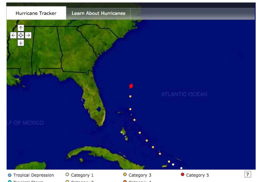
Continue to check Patch for live updates. Click here for a storm tracker map, courtesy of The Weather Channel.
Get more local news delivered straight to your inbox. Sign up for free Patch newsletters and alerts.