Weather
Stormy Weather Possible Throughout Hudson Valley Tuesday
The National Weather Service has issued Hazardous Weather Outlooks for the region.


Warmer temperatures and increasing humidity Tuesday will set the stage for the possibility of thunderstorms throughout the Hudson Valley. The National Weather Service has issued Hazardous Weather Outlooks for the region, though the severity of possible storms depends on one’s location.
At 4:51 a.m. Tuesday, the NWS issued a Hazardous Weather Outlook for Orange, Putnam, Rockland and Westchester counties, saying there is a small chance for strong to severe thunderstorms Tuesday afternoon and evening. (Get Patch’s Daily Newsletter and Real Time News Alerts here.)
For Wednesday through Monday, the NWS said there is the potential for widespread showers and thunderstorms Thursday afternoon into the first half of Friday, with the possibility of flash flooding.
Find out what's happening in Bedford-Katonahfor free with the latest updates from Patch.
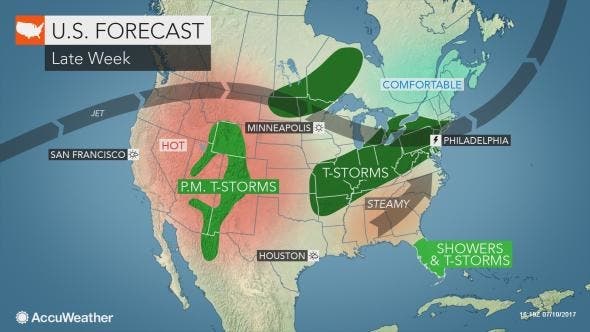
The outlook calls for a chance of thunderstorms Tuesday, with a marginal risk for severe thunderstorms across Dutchess and Ulster.
Isolated damaging winds are the main threat, the NWS said, and the storms could contain locally heavy rainfall.
Find out what's happening in Bedford-Katonahfor free with the latest updates from Patch.
Additional periods of showers and thunderstorms are likely Wednesday night and Thursday, with the potential for heavy rainfall, mainly along and north of I-90.
There is a marginal risk for severe thunderstorms Thursday across Dutchess and Ulster.
Get more local news delivered straight to your inbox. Sign up for free Patch newsletters and alerts.