UPDATE: The winter weather advisory has been canceled and the National Weather Service says less than an inch of snow is now expected across Long Island.
Original story:
A winter weather advisory that was set to take effect at 6 p.m. Tuesday has now been pushed back until midnight Wednesday.
Snow total projections for the region have also decreased slightly.
The latest winter weather advisory issued by the National Weather Service will be in effect from midnight until noon Wednesday.
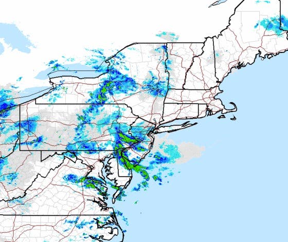
Some light snow may fall Tuesday night and then bands of moderate snow will move into the area after midnight.
As of Tuesday evening, the NWS says 2-3 inches of snow will likely accumulate on Long Island by Wednesday afternoon.
Heavier bands of snow are currently expected to remain offshore, but if they do move onshore, Long Island could see 2-4 inches of snow, with 3-5 inches possible on the East End.
“The snow amounts will be widely variable with some areas under the advisory not getting much more than a dusting to an inch of snow,” a forecast discussion by the National Weather Service’s New York office says. “It all depends on where the bands set up.
Coastal flood advisories are in effect across Long Island Tuesday night and then again Wednesday morning.
The snow may mix with rain after 9 a.m. Wednesday before ending. The rest of Wednesday will be mostly cloudy with a high near 40.
There will be a slight chance of snow showers Wednesday night and Thursday, but otherwise the rest of the week looks dry.
The coldest air of the season will move into the region this weekend, the NWS says.
The high on Saturday is expected be near 21 degrees and the mercury will drop to around 3 degrees at night. On Sunday, the daytime high will be around 17 before the temperature falls to near 12 degrees at night.
Get more local news delivered straight to your inbox. Sign up for free Patch newsletters and alerts.