Weather
Here's How Much Snow NY Can Expect This Winter, Old Farmer's Almanac Predictions Say
A strong El Niño expected to last through winter could have plenty to say about the season ahead in New York, experts predict.


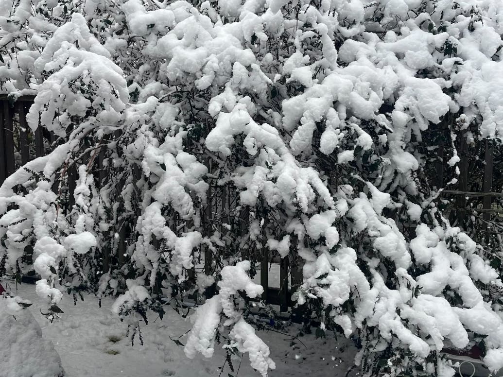
NEW YORK — A strong El Niño expected to last through winter could have plenty to say about the season ahead in New York.
Overall, the El Niño climate pattern is expected to keep temperatures on the mild side, according to The Old Farmer’s Almanac winter forecast. Some areas will see frigid temperatures, and some of the areas that typically get a lot of snow may not need their shovels this coming winter.
According to the Old Farmer's Almanac, in the Northeast, the southern part of the Northeast will experience a more difficult winter, with below-normal temperatures and above-normal snowfall.
Find out what's happening in East Hamptonfor free with the latest updates from Patch.
Temperatures are expected to be above normal in the north and below normal in the south, with the coldest periods in early and mid-January. Precipitation, the report said, is slated to be below normal.
Snowfall is expected to be below normal in the north and above normal in the south, the report said.
Find out what's happening in East Hamptonfor free with the latest updates from Patch.
Finally, the snowiest periods are expected to fall in mid- and late December, mid-January, and early and late March, the report said.
The climate pattern develops when waters in the central and eastern tropical Pacific Ocean become unusually warm, changing atmospheric circulation and shifting weather patterns around the world.
A strong El Niño can move the jet stream and alter where rain, snow and cold air travel across North America. Such winters often bring milder temperatures to much of the country and wetter conditions to parts of the West and South, according to the Almanac.
This El Niño may be more than merely strong.
“El Niño is being supersized before our eyes,” UN Secretary-General António Guterres said earlier this month. “The science leaves no room for doubt: the planet is in uncharted waters, and those waters are heating up. Sea surface temperatures are rising, temperatures keep climbing, and the world is in the danger zone of extreme weather,” said U.N. Secretary-General António Guterres
The National Oceanic and Atmospheric Administration’s Climate Prediction Center said in September that El Niño had strengthened further and had a greater than 90 percent chance of becoming very strong during the fall and winter. The agency put the chance of a historic event at 75 percent, up from 69 percent in August.
In the Pacific region scientists use to measure El Niño, water temperatures were about 3.2 degrees Fahrenheit above normal in August, up from 2.5 degrees in July. Farther east, they were about 6 degrees above normal.
The World Meteorological Organization said El Niño was expected to intensify before peaking near the end of 2026, with effects on rainfall, drought, flooding and extreme heat potentially continuing well into 2027.
According to The Old Farmer’s Almanac forecast, the best bets for a snowier-than-usual winter are central and southern New England, the Appalachians, the northern Rockies and nearby mountain states, the Pacific Northwest and Alaska. Mountain areas of California and the Southwest could also see near- to above-normal snowfall.
Other areas could still see plenty of snow, but seasonal totals could finish near or below normal.
The Almanac expects temperatures to be mild overall with near- or above-normal temperatures across most of the country, with colder temperatures from central New England through the Appalachians and Ohio Valley. Wetter-than-normal conditions are forecast across much of the West and parts of the South, Midwest and Florida.
Get more local news delivered straight to your inbox. Sign up for free Patch newsletters and alerts.