You are going need about seven layers if you plan on venturing outside this weekend.
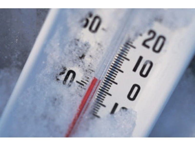
The National Weather Service has already issued a hazardous weather outlook for Long Island, as wind chill temperatures are expected to drop to as low as 20 below zero overnight Saturday into early Sunday morning.
Following a month so far with temperatures averaging 5-10 degrees above normal, temperatures during Valentine’s Day weekend will plunge to 10-20 degrees below normal, according to AccuWeather.
Find out what's happening in East Meadowfor free with the latest updates from Patch.
Saturday’s high temperature is expected to be hit during the pre-dawn hours. It will be about 23 degrees at 5 a.m. and then it’s all downhill from there: 16 degrees at 11 a.m., 13 degrees at 2 p.m., 11 degrees at 5 p.m, 7 degrees at 8 p.m. and 5 degrees at 11 p.m.
Wind chill temperatures are expected to be below zero from around noon on Saturday until Sunday afternoon. It will likely be the coldest around sunrise on Sunday, with the temperature approaching zero and the wind chill near 20 below.
Find out what's happening in East Meadowfor free with the latest updates from Patch.
Temperatures will rebound back into the 30s by Monday, the NWS says.
Here’s the full frigid forecast:
- Wednesday Night- A chance of snow showers after 1am. Increasing clouds, with a low around 23. Wind chill values between 10 and 15. West wind 9 to 11 mph. Chance of precipitation is 30%.
- Thursday- A slight chance of snow showers. Mostly cloudy, with a high near 29. Wind chill values between 10 and 15. Breezy, with a west wind 15 to 20 mph, with gusts as high as 31 mph. Chance of precipitation is 20%.
- Thursday Night- Mostly cloudy, then gradually becoming clear, with a low around 13. Wind chill values between zero and 5. Blustery, with a northwest wind 13 to 21 mph, with gusts as high as 32 mph.
- Friday- Increasing clouds, with a high near 28. Wind chill values between zero and 10. Southwest wind 7 to 13 mph.
- Friday Night- Scattered snow showers after 1am. Mostly cloudy, with a low around 21. West wind 11 to 13 mph. Chance of precipitation is 30%.
- Saturday- Partly sunny, with a temperature falling to around 13 by 5pm. Blustery.
- Saturday Night- Mostly cloudy, with a low around 2. Blustery.
- Sunday- Mostly sunny and cold, with a high near 19.
- Sunday Night- Partly cloudy, with a low around 11.
Get more local news delivered straight to your inbox. Sign up for free Patch newsletters and alerts.