Community Corner
Freeze Watch Issued for Suffolk, Northern Nassau
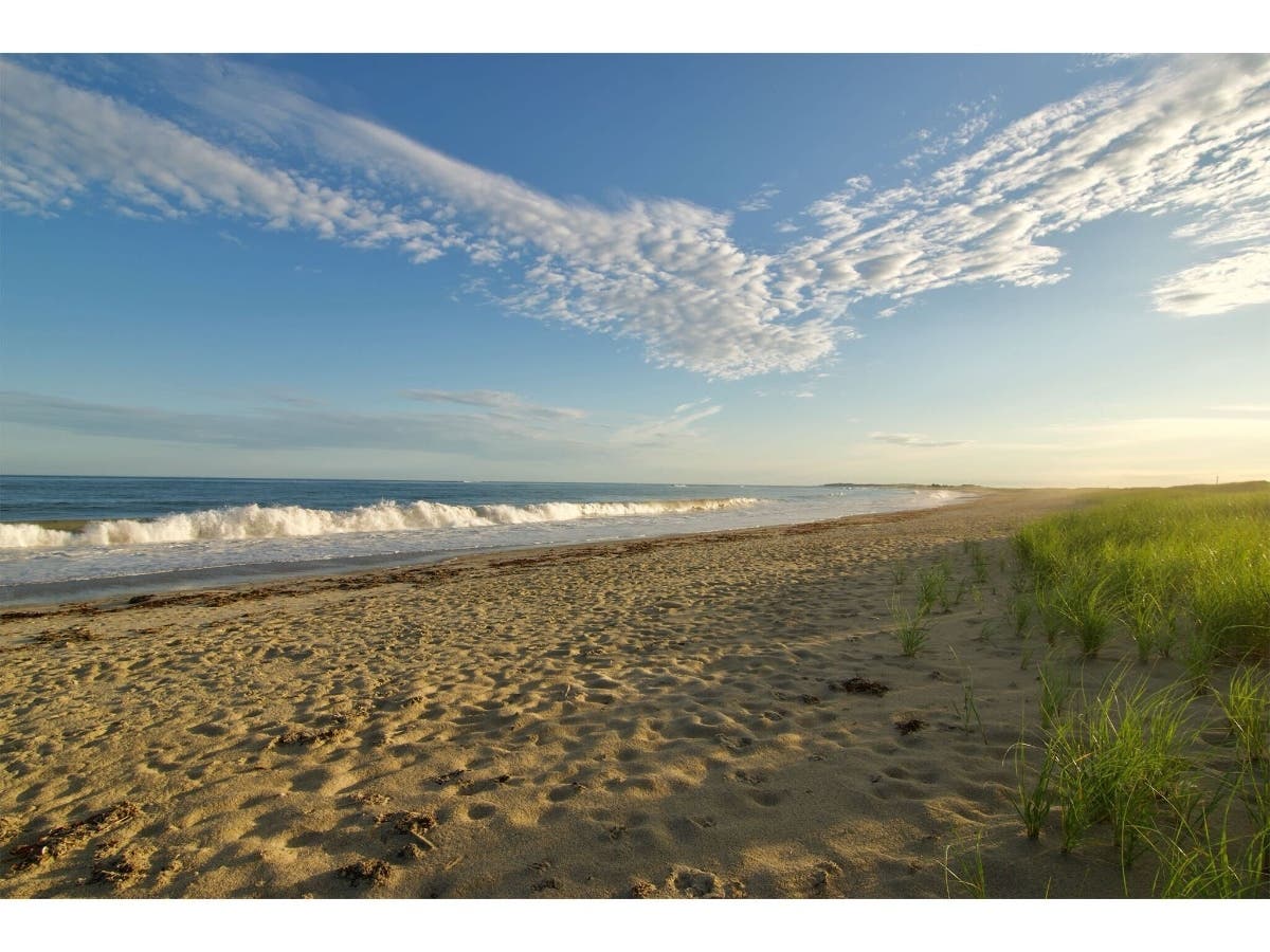
It will feel like winter at the start of the work week.


The National Weather Service has issued a freeze watch for parts of Long Island.
The watch is in effect from 2-10 a.m. Monday for northern Nassau and all of Suffolk County.
“Sensitive vegetation and outdoor plants may be damaged or killed due temperatures at or below freezing,” the NWS said.
Find out what's happening in Glen Covefor free with the latest updates from Patch.
A freeze watch for Suffolk County early Sunday morning has been canceled, but temperatures will still drop to the mid-to-low 30s across Long Island. The high on Sunday will be near 48.
The expected temperature at 7 a.m. Monday on Long Island: a freezing 30 degrees.
Find out what's happening in Glen Covefor free with the latest updates from Patch.
The full forecast:
- Saturday Night- Patchy frost after 4am. Otherwise, partly cloudy, with a low around 35. Northwest wind 9 to 14 mph.
- Sunday- Patchy frost before 10am. Otherwise, mostly sunny, with a high near 48. Wind chill values between 25 and 35 early. Northwest wind 11 to 14 mph.
- Sunday Night- Mostly clear, with a low around 30. North wind 7 to 15 mph.
- Monday- Sunny, with a high near 50. Wind chill values between 25 and 35 early. Northwest wind 7 to 10 mph becoming west in the afternoon.
- Monday Night- Partly cloudy, with a low around 42. Southwest wind around 9 mph.
- Tuesday- Mostly sunny, with a high near 65.
Find your extended forecast on the homepage of your local Patch.
Get more local news delivered straight to your inbox. Sign up for free Patch newsletters and alerts.