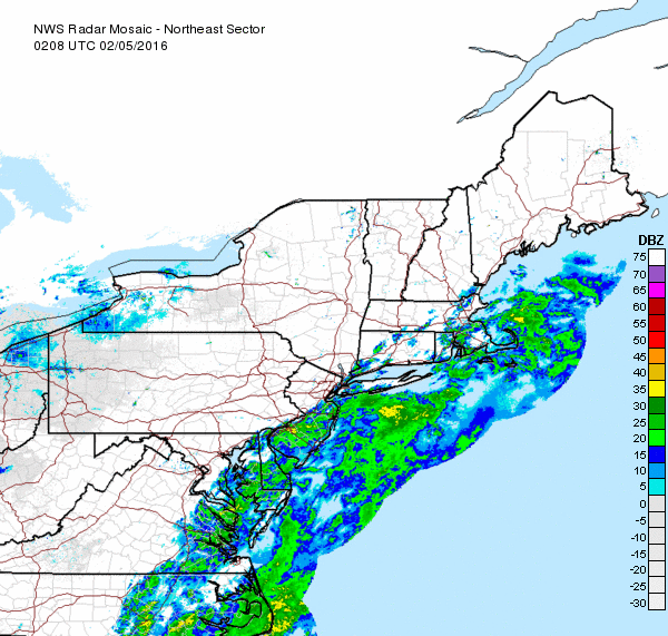
Snow total estimates for Friday have risen once again for all of Long Island.
A winter storm warning, in effect from 3 a.m. to 3 p.m., has now been issued for Suffolk County. In Nassau, a winter weather advisory takes effect at midnight and lasts until noon.
Snow accumulations are now expected to total 5-8 inches in Suffolk and 4-6 inches in Nassau.
Find out what's happening in Half Hollow Hillsfor free with the latest updates from Patch.
Rain will mix with snow early Friday morning before becoming all snow close to daybreak from the Riverhead area west and then during the morning rush across the Twin Forks, the National Weather Service says.
Hazardous travel conditions are expected, with winds gusting up to 35 mph blowing snow and reducing visibilities.
Find out what's happening in Half Hollow Hillsfor free with the latest updates from Patch.
The snow will end in the afternoon.
The Next Big Storm?
The weekend will be dry and sunny, but forecasters will be closely tracking a system that could turn into the next big storm. As of now, the NWS says there will be a chance of snow from Monday night through Tuesday night.
“The odds of accumulating snow and the potential for a significant snowstorm will increase farther north from the upper part of the mid-Atlantic to New England spanning Tuesday into early Wednesday,” according to AccuWeather.
If you are not a fan of the snow, take solace in knowing that next week’s forecast is far from certain.
“There are forecast model differences with the track of this low pressure and it is very possible that it could develop too far offshore to bring impactful snow to the Northeast,” according to The Weather Channel.
Get more local news delivered straight to your inbox. Sign up for free Patch newsletters and alerts.