At the northeast corner of Jerusalem Avenue and Hempstead Turnpike - where Friendly's, Lemon Tree, and the Verizon building now stand and where Henshaw's Furniture Store provided Levittown's "pioneers of suburbia" with everything needed to turn a mass-produced Cape Cod or Ranch into a comfortable family home - there stood an ancient grove of pine trees that so resembled an isle of trees amid a sea of undulating grass that it came to be called "the Island of Trees" and bequeathed northern Levittown and southern Hicksville with the name Island Trees which survives today as a school district.
Although first mentioned in a 1747 deed, it's likely that this neighborhood was called that for sometime as the stand was sufficiently impressive to be prominently mentioned by travelers to the area such as Timothy Dwight in 1823 and Nathaniel Prime in 1845.
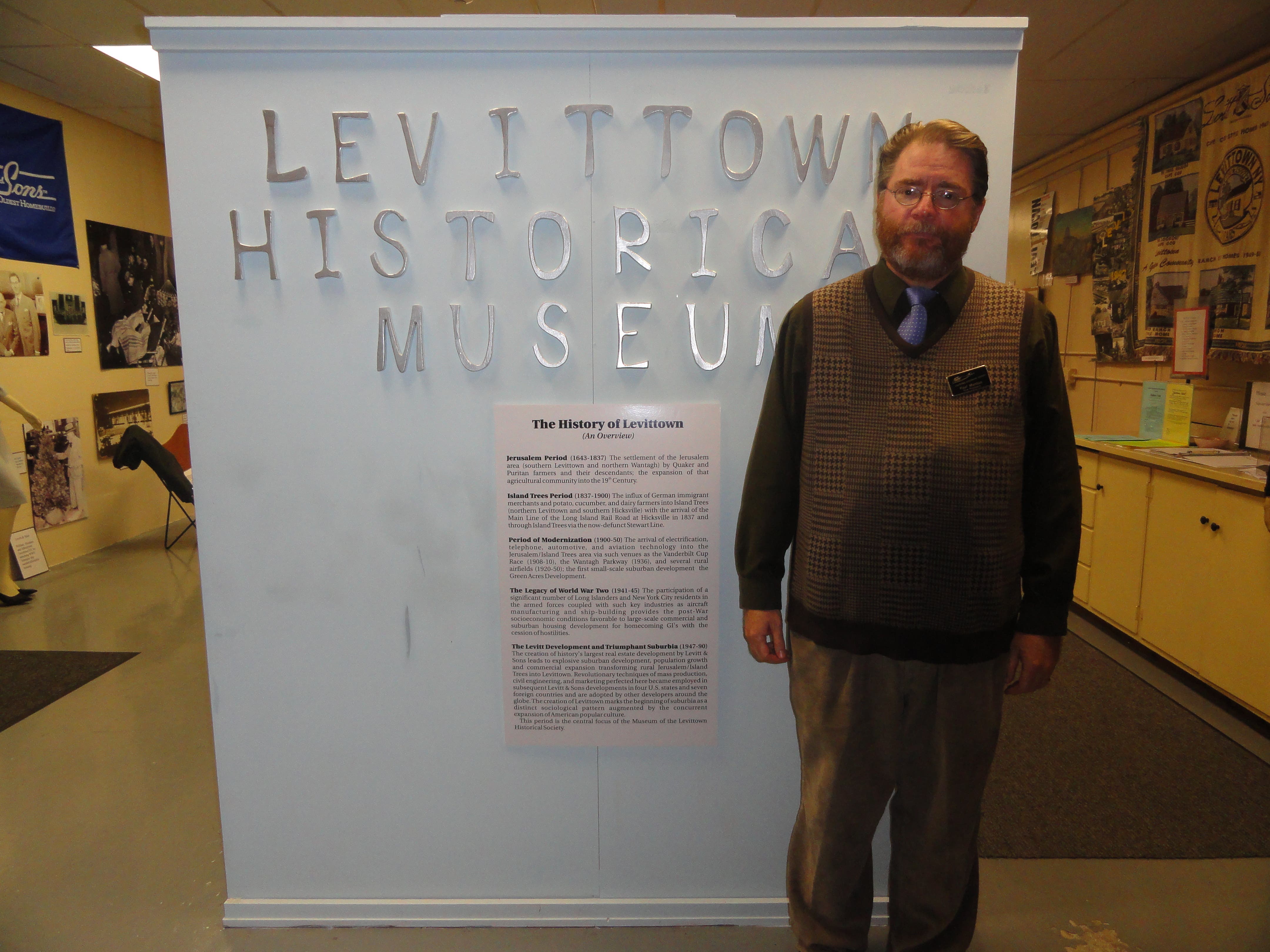
Today, all that's left of this feature are some of the pitch pines in the Fireman's Memorial Park, a section of log on display at the administration office of the Island Trees School District, and some old photographs at the Museum of the Levittown Historical Society. It had been cleared for development by Levitt & Sons after 1948 to make way for the side streets between Hamlet Road and Jerusalem Avenue.
Find out what's happening in Levittownfor free with the latest updates from Patch.
Criticism for this probably influenced Levitt & Sons, evidently unfamiliar with the historical significance of this grove, to exercise greater attention to environmental considerations in subsequent housing projects and preserve, as a Levitt & Sons, LLC brochure described, "existing land contours, wooded acres, rock formations..." To wit: the Company established an environmental planning division.
One ancient feature that would have been conspicuous in olden days but didn't survive the agricultural period of the 18th and 19th centuries was a wooded parcel described as "Rim-of-the-Woods" by the Thomas Powell purchases of the 1690's which included most of the Bethpage/Plainedge area. It was an elongated woodland that ran alongside Hicksville Road north of Hempstead Turnpike to where the Grumman facility was established in the 1930's.
Find out what's happening in Levittownfor free with the latest updates from Patch.
Fed by what's now a mostly an underground rill called Massatayan by the Indians, it constituted the point at which increasingly scattered groves of pitch pine and scrub oak began to replace the unbroken meadows of the Hempstead Plains: the edge of the plains and, hence, Plainedge.
The "Rim-of-the-Woods" is significant because it comprised part of the Town of Hempstead/Town of Oyster Bay border and, by default, the eastern boundary of Levittown. A line between the "Rim-of-the-Woods" and a surveyed point in the middle of the Hempstead Plains now occupied by Alice Lane in Hicksville (the "A" section of the Levitt Development) marks the Town Line and the boundary between Levittown and Hicksville.
The 1648 Robert Williams Purchase, which included present-day Hicksville, Woodbury, and Syosset, characterizes it as from "the middle of the plaine thence uppone a est line to the end of the plaine bounded with the wodes one the easte and northeaste".
Although Levittown's southern boundary is largely determined by the Southern State Parkway, Jerusalem was on entity owing to Capt. John Seaman's 1664 Jerusalem Purchase which included southeastern Levittown, Wantagh, and Seaford.
The boundaries between the modern incarnations of these territories are likewise determined by modern man-made features. Wantagh and Seaford border the Seaford-Oyster Bay Expressway, for example. But in the 17th century, unlike with the territory north of Hempstead Turnpike, creeks were employed.
Seaford Creek marks the TOB/TOH border. To further delineate it, in 1658, fifteen years after the original Hempstead Purchase, Capt. Seaman, Robert Jackson, and a delegation of Massapequan Indians resurveyed this creek and marked a tree at a point called Maskachoung or "Tree-in-half-neck" which would today be somewhere just south of Merrick Road and east of Seaman's Neck Park and said tree was probably easily seen among the open salt meadows and tidal flats.
Probably the most famous boundary tree in our area is a white oak that stood at the corner of West John Street and Cantiague Rock Road in Hicksville. Here, at the northern edge of the Hempstead Plains, the aforementioned Robert Williams met with Pugnipan of the Matinecock on May 20, 1648 to mark the township lines. When the oak died in the 1740's, it was replaced by the boulder, the Cantiague Rock, that resides there today.
A 1936 WPA painting by Joseph Physioc depicts the scene: its most glaring inaccuracy, aside from the Lakota headdress on Pugnipan, being the presence of the rock at the foot of the oak.
With these ancient landmarks long gone and forgotten and the grasslands and patches of forest replaced first with farmlands and then highways and suburban subdivisions, it's difficult to understand the logic of our political geography today. Nevertheless, these features were familiar landmarks in earlier times and frequently consulted and revisited as conflicts over landownership and legal jurisdictions arose.
Like the "gospel trees" of Medieval England that delineated parish lines frequently perambulated by parsons with Bible in hand (a practice not undertaken by the clergyless Quakers in our area), they were as well known in the age of homespun as they are forgotten in the age of high technology.
Want to learn more about the history of Levittown and the surrounding communities? Visit www.levittownhistoricalsociety.org.