Community Corner
No April Fools: Snow Chances on 3 Straight Days For Long Island
A high wind watch has also been issued with the potential for 60 mph winds this weekend. Thunderstorms possible Friday.

Yes, the calendar says April, but Mother Nature says not so fast on packing away that winter hat and gloves.
In fact, Long Island may see a little snow on three straight days at the start of next week, according to the National Weather Service.
No snow accumulation is currently expected on Sunday and Monday, but the NWS says the island could see "minor" accumulation on Tuesday.
Before we get to any wintry weather, showers and thunderstorms are in the forecast for Friday. Saturday will also likely be a washout with rain and gusty winds on tap.
Winds will really pick up Saturday night into Sunday. A high wind watch will be in effect from midnight until noon Sunday. Gusts of up to 60 mph could down some trees and power lines, which could lead to power outages. Driving high profile vehicles will also become difficult, the NWS says.
Temperatures will drop to near the freezing mark on Sunday and Monday nights and may fall into the 20s on Tuesday night.
April is typically a battleground between winter and spring. Drastic temperature swings are common as warm spells can quickly be erased by arctic air diving to the south, according to AccuWeather.
"[As is] typical of April, there may be a back-and-forth fight going on in the atmosphere for a time," AccuWeather Senior Meteorologist Alex Sosnowski said.
Here's the full forecast:
Friday- A chance of showers and thunderstorms. Widespread dense fog, mainly before 10am. Otherwise, cloudy, with a high near 62. Breezy, with a southwest wind 16 to 21 mph. Chance of precipitation is 50%.
Friday Night- A chance of showers, mainly before 9pm. Mostly cloudy, with a low around 49. Southwest wind 5 to 15 mph becoming west after midnight. Chance of precipitation is 30%.
Saturday- Showers likely, mainly between 8am and 2pm. Mostly cloudy, with a high near 55. Southwest wind 7 to 11 mph. Chance of precipitation is 60%. New precipitation amounts between a tenth and quarter of an inch possible.
Saturday Night- Showers likely, mainly after 2am. Mostly cloudy, with a low around 36. Wind chill values between 25 and 35. Breezy, with a west wind 11 to 16 mph increasing to 19 to 24 mph after midnight. Winds could gust as high as 38 mph. Chance of precipitation is 60%. New precipitation amounts of less than a tenth of an inch possible.
Sunday- A chance of snow showers before 8am. Mostly sunny, with a high near 43. Windy, with a northwest wind 25 to 34 mph, with gusts as high as 49 mph. Chance of precipitation is 30%.
Sunday Night- Partly cloudy, with a low around 32.
Monday- A chance of rain before 8am, then a chance of rain and snow between 8am and 11am, then a chance of rain after 11am. Partly sunny, with a high near 50. Chance of precipitation is 50%.
Monday Night- Rain likely before 2am, then a chance of snow. Mostly cloudy, with a low around 33. Chance of precipitation is 60%.
Tuesday- A chance of snow showers before 8am. Mostly sunny, with a high near 40. Breezy. Chance of precipitation is 30%.
Tuesday Night- Mostly clear, with a low around 27.
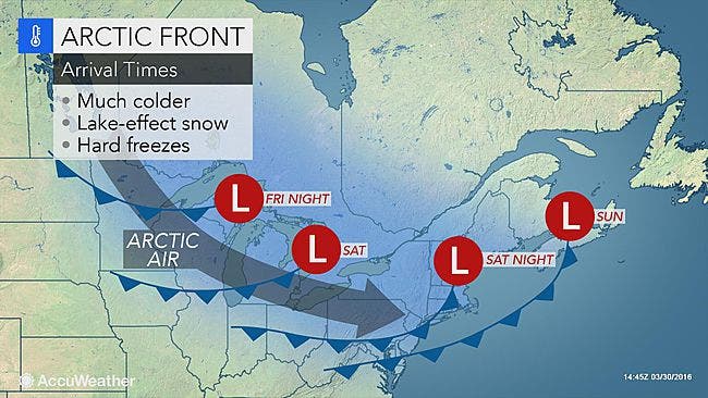
Photo: AccuWeather
Get more local news delivered straight to your inbox. Sign up for free Patch newsletters and alerts.