Weather
Thunderstorms, Snow Possible In Hudson Valley Forecast: Here's When, What To Know
Some major weather changes are on the way for the Hudson Valley; find out the latest timeline, according to meteorologists.

HUDSON VALLEY, NY — The unseasonably warm weather will end later today, and it will be followed by rain, possible thunderstorms, and even snow, according to the National Weather Service.
Its New York City office says a cold front will move through the region starting tonight and into early Thursday.
“Expect showers and possible thunderstorms to develop later this afternoon and continue through Thursday as a result,” the National Weather Service said Wednesday.
Find out what's happening in Mid Hudson Valleyfor free with the latest updates from Patch.
Its Albany office also predicts “widespread rain” Wednesday and overnight.
“The combination of runoff from snow melt and rainfall will result in rising rivers that will likely cause ice to break up and flow, potentially resulting in ice jams and associated flooding,” the Albany office reported Wednesday.
Find out what's happening in Mid Hudson Valleyfor free with the latest updates from Patch.
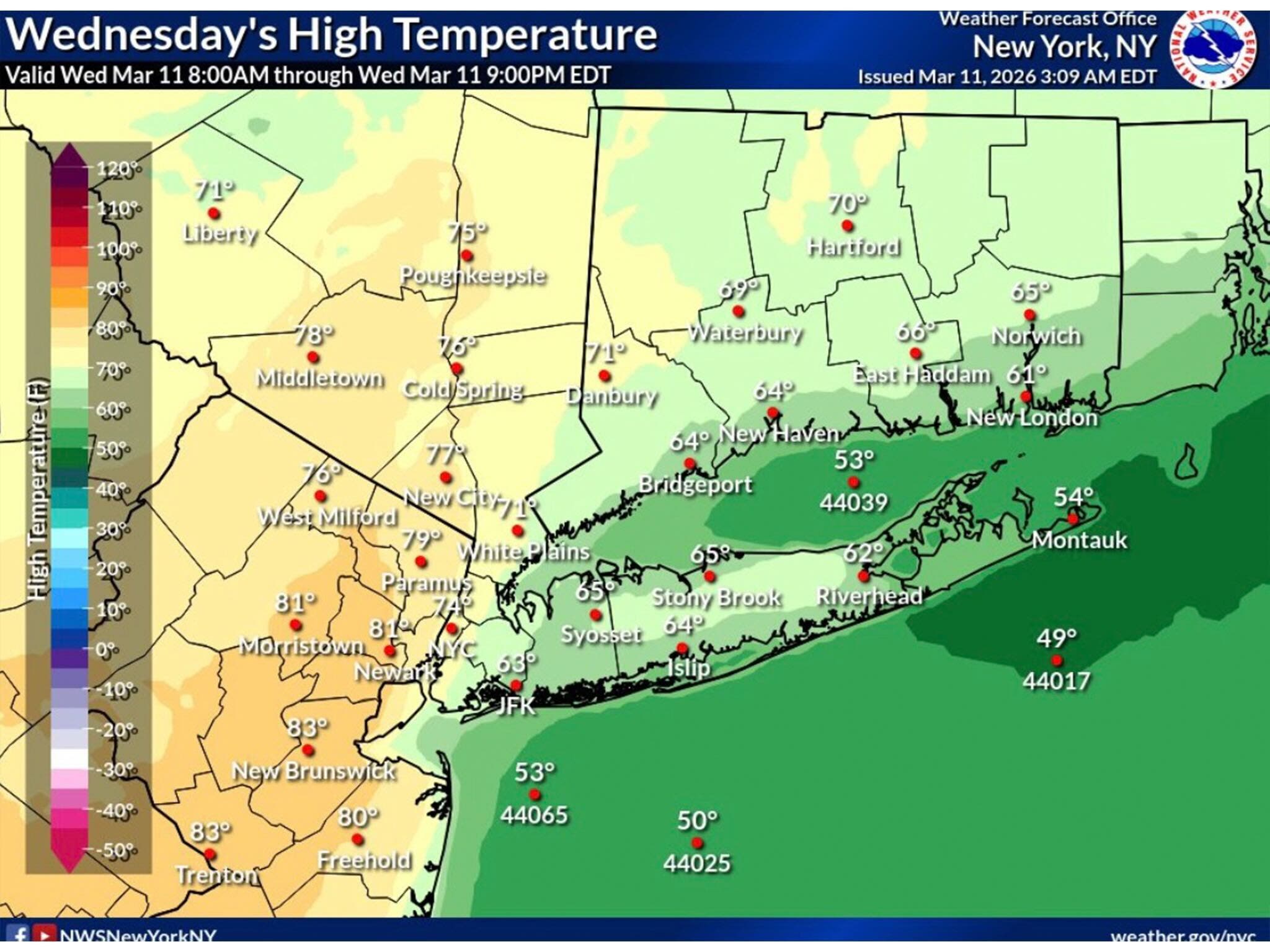
Today starts out sunny and warm, with highs reaching into the low 70s, with a 30 to 40 percent chance of showers this afternoon, according to the National Weather Service.
The chance for rain and thunderstorms is higher overnight tonight, particularly between 10 p.m. and 2 a.m., forecasters said. Temperatures will drop overnight and into early Thursday, and some areas could get a half inch of snow on Thursday, the National Weather Service said. Winds could gust up to 29 miles per hour.
Friday through Sunday will be much colder, with daytime highs reaching into the 40s, according to the National Weather Service.
Here are the forecast details for the Mid-Hudson Valley area via the National Weather Service:
Today: A chance of showers, mainly after 1 p.m. Partly sunny, with a high near 73. South wind 5 to 9 mph. Chance of precipitation is 40%. New precipitation amounts of less than a tenth of an inch possible.
Tonight: A chance of showers and thunderstorms before 10 p.m., then showers likely and possibly a thunderstorm between 10 p.m. and 2 a.m., then showers likely after 2 a.m. Mostly cloudy, with a low around 46. South wind 8 to 10 mph, with gusts as high as 22 mph. Chance of precipitation is 60%. New rainfall amounts between a tenth and quarter of an inch, except higher amounts possible in thunderstorms.
Thursday: A chance of rain showers before 2 p.m., then a slight chance of rain and snow showers. Mostly cloudy, with a temperature falling to around 42 by 5 p.m. Northwest wind around 15 mph, with gusts as high as 29 mph. Chance of precipitation is 40%. New snow accumulation of less than a half inch possible.
Thursday Night: Mostly cloudy, then gradually becoming clear, with a low around 28. West wind 5 to 8 mph.
Friday: Partly sunny, with a high near 45. Light southwest wind becoming south 9 to 14 mph in the morning. Winds could gust as high as 25 mph.
Friday Night: A chance of rain before 2 a.m. Mostly cloudy, with a low around 35. Chance of precipitation is 30%.
Saturday: Mostly sunny, with a high near 46.
Saturday Night: Mostly cloudy, with a low around 27.
Sunday: A chance of rain and snow after 2 p.m. Cloudy, with a high near 47. Chance of precipitation is 30%.
Here are the forecast details for the lower Hudson Valley area via the National Weather Service:
Today: A 30 percent chance of showers, mainly after 2 p.m. Partly sunny, with a high near 71. Southeast wind 7 to 10 mph.
Tonight: A 40 percent chance of showers and thunderstorms. Mostly cloudy, with a low around 43. South wind around 11 mph, with gusts as high as 24 mph.
Thursday: Rain showers likely before 2 p.m., then a slight chance of rain and snow showers. Mostly cloudy, with a temperature rising to near 58 by 8 a.m., then falling to around 42 during the remainder of the day. Northwest wind around 17 mph, with gusts as high as 29 mph. Chance of precipitation is 60%. Little or no snow accumulation expected.
Thursday Night: Mostly clear, with a low around 31. Northwest wind 7 to 11 mph, with gusts as high as 21 mph.
Friday: Increasing clouds, with a high near 46. South wind 6 to 11 mph increasing to 12 to 17 mph in the afternoon. Winds could gust as high as 29 mph.
Friday Night: A 30 percent chance of showers before 2 a.m. Mostly cloudy, then gradually becoming mostly clear, with a low around 37.
Saturday: Sunny, with a high near 49.
Saturday Night: Mostly cloudy, with a low around 32.
Sunday: Cloudy, with a high near 49.
Get more local news delivered straight to your inbox. Sign up for free Patch newsletters and alerts.