Weather
NYC Weather: 12 Inches Of Snow, Nor'easter Could Hit Late Friday
"Blizzard conditions" and massive snowfall could hit the city starting Friday, depending on how a storm tracks, according to AccuWeather.

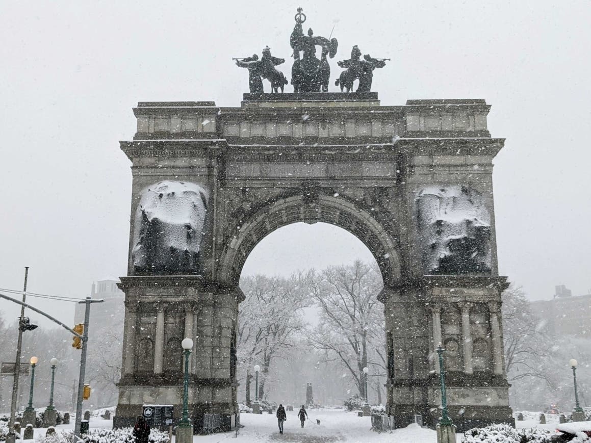
NEW YORK CITY — A major nor'easter threatens to dump 12 inches — or more — of snow on New York City, bringing blizzard conditions as the weekend dawns, forecasters warn.
Roughly 8 to 12 inches of snow could hit the city starting Friday night, according to a new AccuWeather forecast.
The snow is expected to come from a major low pressure storm system that has already prompted a hazardous weather outlook for Friday and Saturday. Forecasters warn conditions could create a "bomb cyclone."
Find out what's happening in New York Cityfor free with the latest updates from Patch.
"The sprawling New York City metro area, in particular, is likely to experience a wide range of accumulations," an AccuWeather report states. "In northwestern New Jersey, a few inches of snow could fall, but areas in central Long Island, New York, will face over a foot of snow. Any small shift in the storm track to the east or west could mean the difference between a manageable snowfall or blizzard conditions in the five boroughs of the city."
The threat of heavy snow isn't a sure bet, but looks increasingly likely.
Find out what's happening in New York Cityfor free with the latest updates from Patch.
The AccuWeather forecast warns that if the storm tracks further to the west, the 12-inch forecast for the New York City area and beyond could be "doubled."
"However, if the opposite happens and the storm tracks 50 miles farther to the east, snowfall in these areas could be halved instead," it states.
Read the full AccuWeather forecast report here.
The National Weather Service forecast is, as of Wednesday afternoon, more conservative. But it, too, warns conditions could bring a strong storm to the city.
"There is increasing potential for a low pressure storm system to bring heavy snowfall and high winds to portions of the area Friday night into Saturday night," the hazardous weather outlook states. "Uncertainties remain with the track and intensity of the storm system and its resulting potential impacts."
Here's the complete National Weather Service forecast:
Wednesday Afternoon
Mostly sunny, with a high near 29. Wind chill values between 15 and 20. Northwest wind around 14 mph.
Wednesday Night
Mostly clear, with a low around 16. Wind chill values between 5 and 10. North wind 8 to 11 mph.
Thursday
Sunny, with a high near 32. Wind chill values between 5 and 15. Northeast wind 6 to 10 mph becoming southwest in the afternoon.
Thursday Night
Increasing clouds, with a low around 28. Wind chill values between 20 and 25. Southwest wind around 10 mph.
Friday
A 30 percent chance of snow. Cloudy, with a high near 36. Southwest wind 5 to 9 mph becoming north in the afternoon.
Friday Night
Rain and snow likely before 10pm, then snow. Low around 22. Blustery. Chance of precipitation is 80 percent. New snow accumulation of 1 to 2 inches possible.
Saturday
Snow likely, mainly before 1pm. Cloudy, with a high near 27. Blustery. Chance of precipitation is 70 percent.
Saturday Night
A 30 percent chance of snow before 1am. Mostly cloudy, with a low around 18. Blustery.
Sunday
Sunny, with a high near 28.
Sunday Night
Partly cloudy, with a low around 18.
Monday
Mostly sunny, with a high near 33.
Monday Night
Partly cloudy, with a low around 21.
Tuesday
Mostly sunny, with a high near 37.
Get more local news delivered straight to your inbox. Sign up for free Patch newsletters and alerts.