Weather
NYC Weather: Winter Storm Watch Friday As 12 Inches Of Snow Loom
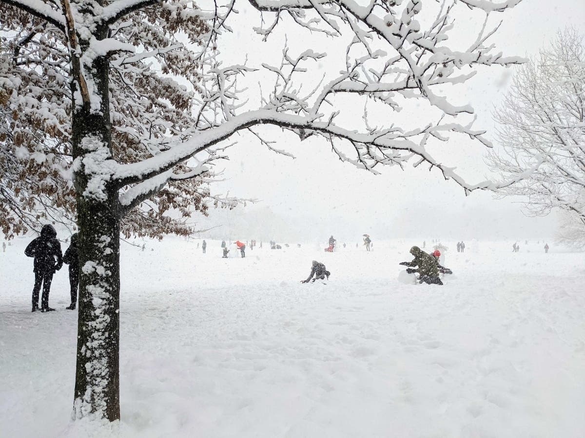
A major winter storm with heavy snow, 45 mph wind gusts and blizzard conditions looks increasingly likely starting Friday night.

NEW YORK CITY — Ready yourselves, New Yorkers — a major winter storm looks increasingly likely to hit the five boroughs.
A winter storm watch starts Friday at 7 p.m. and will run till Saturday at 7 p.m., according to the National Weather Service.
The city already faced a hazardous weather outlook from the storm.
Find out what's happening in New York Cityfor free with the latest updates from Patch.
"Heavy snow possible," the watch states. "Total snow accumulations of 6 to 12 inches possible. Winds could gust as high as 45 mph."
Gov. Kathy Hochul said up to 3 inches of snow an hour could fall.
Find out what's happening in New York Cityfor free with the latest updates from Patch.
"I just want everyone to know that we are taking preparation right now as we speak, despite this beautiful weather," she said Thursday morning.
But heavy snow and blustery blizzard conditions are still far from a sure thing.
The watch states there's a "greater than usual forecast uncertainty with the track of this storm, and the axis of heaviest snowfall may shift in subsequent forecast updates."
A western storm track with the storm will bring more than 6 inches of snow to New York City, forecasters said. A slight shift in the storm's path could yield far less snow.
The forecast could firm or shift dramatically in the 36 hours before the storm, forecasters said.
Here's the full National Weather Service forecast:
Thursday
Sunny, with a high near 33. Wind chill values between 10 and 20. Northeast wind 6 to 10 mph becoming south in the afternoon. Winds could gust as high as 22 mph.
Thursday Night
Increasing clouds, with a low around 31. Wind chill values between 25 and 30. Southwest wind around 10 mph, with gusts as high as 21 mph.
Friday
A slight chance of rain and snow after 2pm. Cloudy, with a high near 38. Wind chill values between 25 and 30. West wind 7 to 9 mph becoming north in the afternoon. Winds could gust as high as 21 mph. Chance of precipitation is 20%.
Friday Night
A chance of rain and snow before 11pm, then snow likely. Cloudy, with a low around 18. Wind chill values between 10 and 15. North wind 10 to 18 mph. Chance of precipitation is 70%. New snow accumulation of less than one inch possible.
Saturday
Snow likely. Mostly cloudy, with a high near 24. Blustery, with a north wind around 22 mph, with gusts as high as 34 mph. Chance of precipitation is 70%. New snow accumulation of 4 to 6 inches possible.
Saturday Night
Snow likely before 8pm. Mostly cloudy, then gradually becoming mostly clear, with a low around 16. Blustery. Chance of precipitation is 60%. New snow accumulation of less than one inch possible.
Sunday
Sunny, with a high near 29.
Sunday Night
Mostly cloudy, with a low around 20.
Monday
Mostly sunny, with a high near 33.
Monday Night
Partly cloudy, with a low around 23.
Tuesday
Mostly sunny, with a high near 40.
Tuesday Night
Mostly cloudy, with a low around 36.
Wednesday
Mostly cloudy, with a high near 48.
Get more local news delivered straight to your inbox. Sign up for free Patch newsletters and alerts.