Weather
Heavy Rain, Flood Threats: Hazardous Outlooks For The Hudson Valley
A flood advisory is in effect for Dutchess and Ulster counties Sunday evening from the National Weather Service. Here's an hour-by-hour look

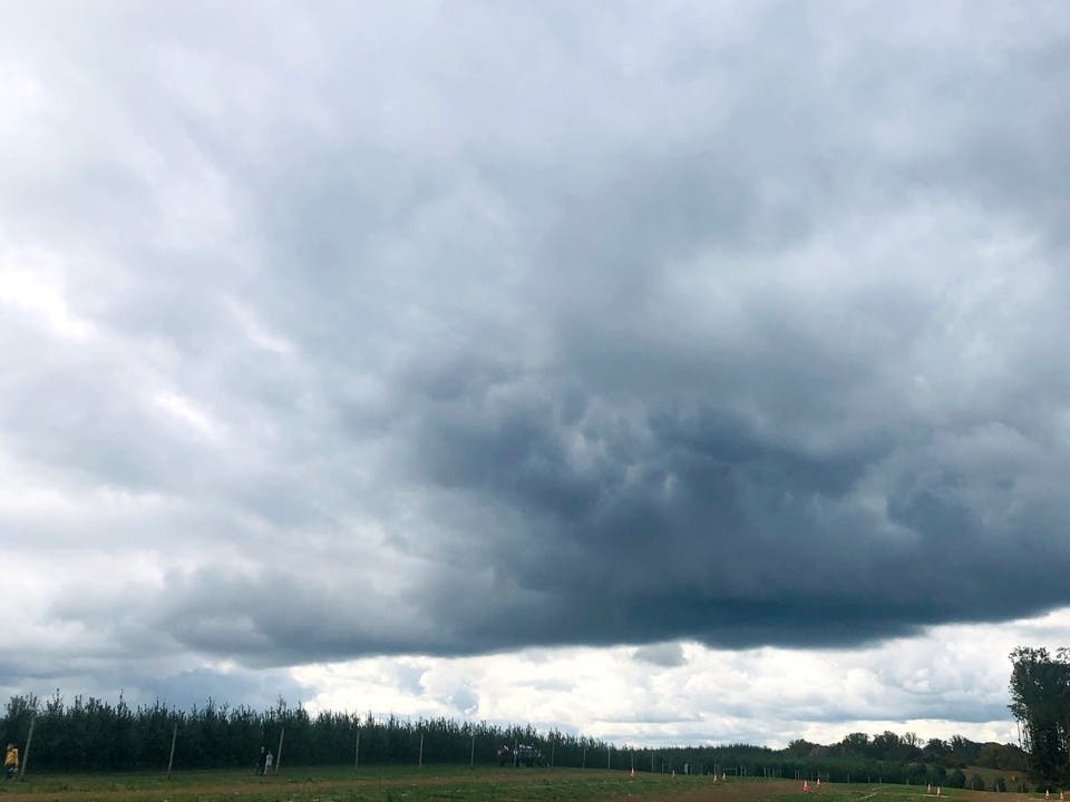
HUDSON VALLEY, NY — Scattered showers and isolated thunderstorms Sunday night, and heavy rain Monday into Tuesday, add flooding to the forecast.
The National Weather Service issued hazardous outlooks for the region plus a flood advisory for Dutchess and Ulster.
"Heavy downpours, thunder and lightning, along with some localized gusty winds are possible," said Alex Marra and Bill Potter of Hudson Valley Weather.
Find out what's happening in New Cityfor free with the latest updates from Patch.
Up to 2 inches of rain had already fallen by 4:44 p.m. when the NWS issued the flood advisory.
Additional rainfall amounts up to 2 inches are expected over the area. Some locations that will experience flooding include: Kingston, Rhinebeck, Hurley, Woodstock, Red Hook, Lake Katrine, Port Ewen, West Hurley, Lincoln Park, East Kingston, Halihan Hill, Sawkill, Ulster Landing, Ponck Hockie, Flatbush, Ruby, Rondout, Sleightsburg, Glenerie and Jockey Hill.
Find out what's happening in New Cityfor free with the latest updates from Patch.
For Orange, Putnam, Rockland and Westchester counties, it's a localized flood threat at first and then, with the region at slight risk for excessive rainfall, the possibility of flash flooding.
For Dutchess and Ulster, Monday into Tuesday widespread rainfall is expected, with locally heavy rainfall possible for areas mainly south of Interstate 90. This may result in minor flooding in urban and poor drainage areas, as well as localized flash flooding.
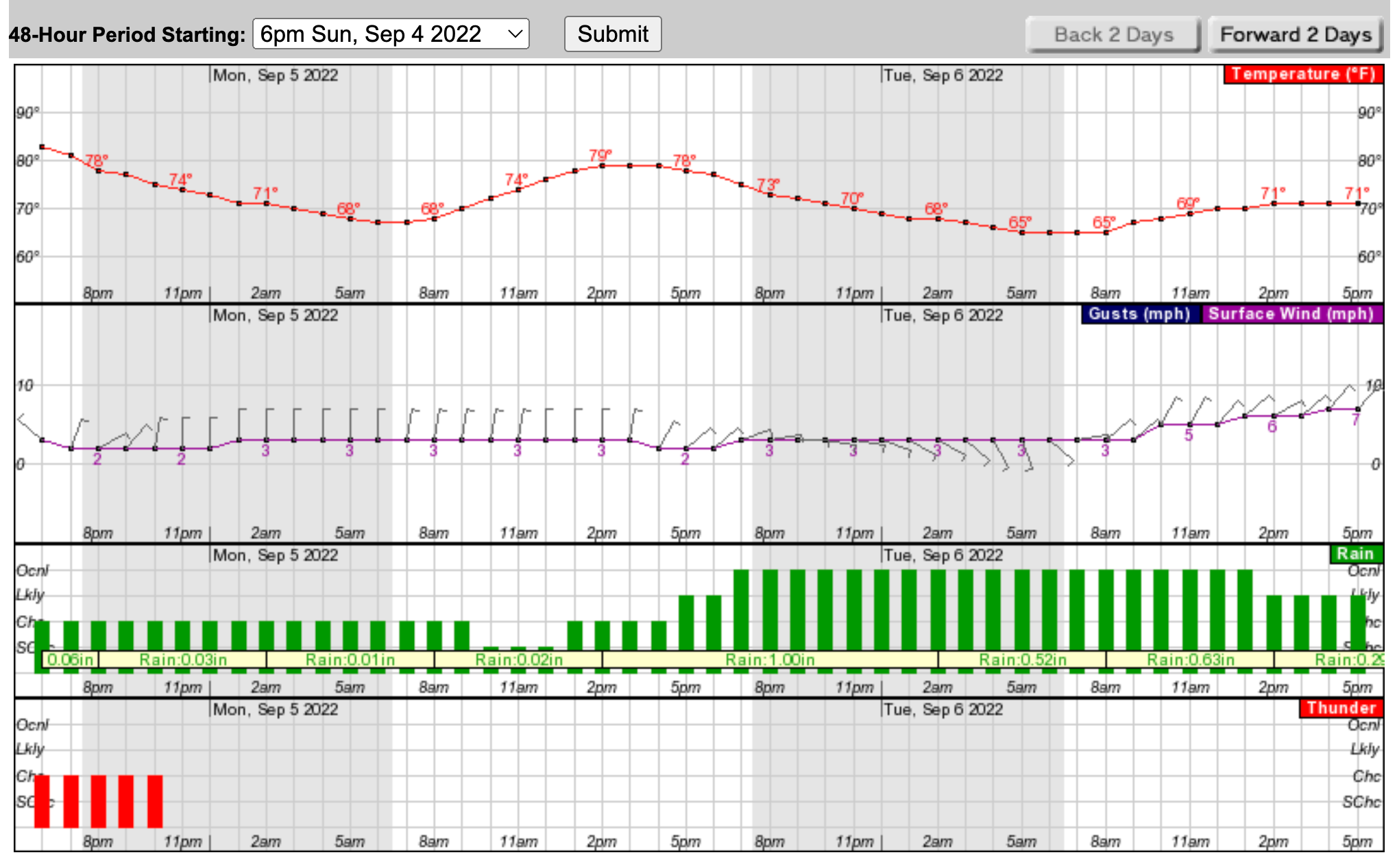
Here's an hour-by-hour look at the next two days:
Get more local news delivered straight to your inbox. Sign up for free Patch newsletters and alerts.