Weather
Hudson Valley Forecast: Hazardous Outlooks
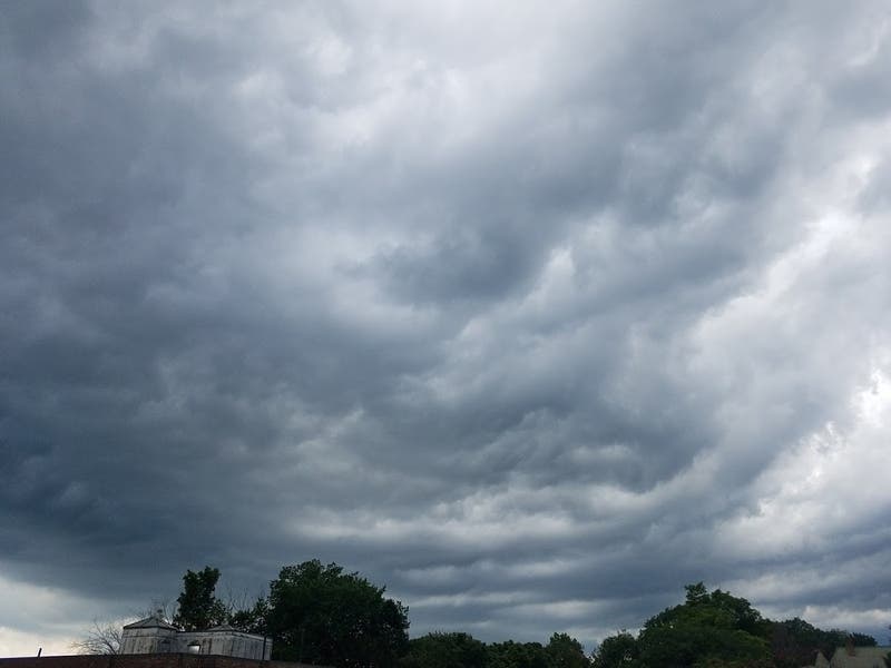
The National Weather Service has issued hazardous weather outlooks for different reasons for Sunday, Monday and Tuesday.

HUDSON VALLEY, NY — The National Weather Service has already issued a hazardous weather outlook over Hurricane Ida for lower Hudson Valley for Tuesday.
But first, the NWS issued a HWO for Dutchess and Ulster counties for Sunday and Monday.
The hazardous weather outlook for the mid-Hudson region has to do with two days of scattered thunderstorms — frequently severe with lightning and heavy rain on Sunday afternoon and evening, followed by possible thunderstorms Monday afternoon and evening with gusty winds.
Find out what's happening in New Cityfor free with the latest updates from Patch.
The hazardous weather outlook for Tuesday so far only includes Orange, Putnam, Rockland and Westchester: Remnants of Hurricane Ida are expected to affect the region mainly from late Tuesday night into Thursday morning. A period of moderate to heavy rain is possible. However, there is still uncertainty as to exactly where and when the heaviest of the rain will fall. Given recent wet conditions, flooding is possible.
SEE ALSO: As Louisiana Residents Flee Region Ahead Of Hurricane Ida, New Yorkers Head South To Help
Find out what's happening in New Cityfor free with the latest updates from Patch.
Get more local news delivered straight to your inbox. Sign up for free Patch newsletters and alerts.