Weather
3rd Nor'easter In 10 Days Threatens Hudson Valley
Here we go again. Hazardous weather outlooks have been issued and the National Weather Service has released snow total estimates.

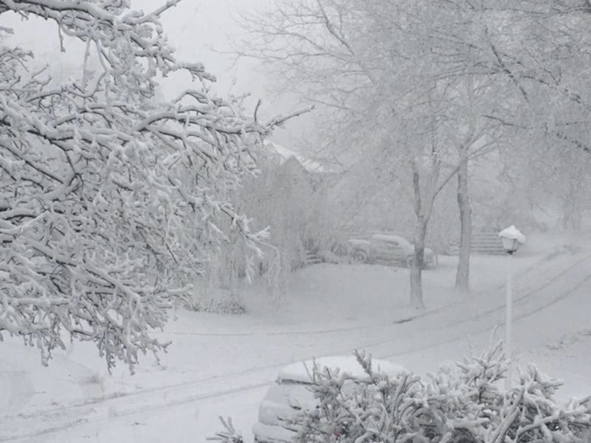
With just 10 days to go until the first day of spring, winter shows no signs of letting up. The National Weather Service has issued hazardous weather outlooks as yet another nor'easter makes it way toward the Hudson Valley. Low pressure will intensify and track south and east of the region Monday night into Tuesday.
The Hazardous Weather Outlook for Orange, Putnam, Rockland and Westchester counties said an advisory level of 3 inches or more of snow is expected, but there is also a low to moderate potential for a warning level snowfall, which is 6 or more inches.
The Hazardous Weather Outlook for Columbia, Dutchess and Ulster counties said a coastal low may bring a period of light to moderate snow Monday night into Tuesday. Uncertainty remains with the eventual storm track and snowfall amounts across the region, with areas east of the Hudson River with the higher probability for moderate snowfall.
Find out what's happening in New Rochellefor free with the latest updates from Patch.
The snow will likely begin by Monday evening and it's not expected to end until Tuesday evening. The official forecast — for the moment at least — calls for 2 to 6 inches of snow accumulation in the lower Hudson Valley and 1 to 3 inches in the mid-Hudson Valley.

Find out what's happening in New Rochellefor free with the latest updates from Patch.


The full forecast for the lower Hudson Valley from the National Weather Service:
- Sunday: Sunny, with a high near 43. Northwest wind 10 to 13 mph.
- Sunday Night: Mostly clear, with a low around 27. North wind around 7 mph.
- Monday: Increasing clouds, with a high near 42. Wind chill values between 20 and 30. East wind around 8 mph.
- Monday Night: Rain and snow likely, becoming all snow after 11pm. Cloudy, with a low around 30. Wind chill values between 20 and 25. Northeast wind 9 to 11 mph, with gusts as high as 21 mph. Chance of precipitation is 70%. New snow accumulation of 1 to 3 inches possible.
- Tuesday: Snow likely before 1pm, then a chance of rain and snow. Cloudy, with a high near 39. Northwest wind around 15 mph. Chance of precipitation is 60%. New snow accumulation of 1 to 3 inches possible.
- Tuesday Night: Mostly cloudy, with a low around 30.
Photo by Daniela Galletta/East Northport
Get more local news delivered straight to your inbox. Sign up for free Patch newsletters and alerts.