Weather
Hudson Valley Weather: Sunday's Winter Storm Brings It All
We've got snow, we've got sleet, we've got rain, we've got freezing rain. Something for everybody.

HUDSON VALLEY, NY — A storm system Sunday could bring anything from a foot of snow in the Catskills to a coating of snow on the coast. One thing for sure: it will bring a full day of freezing precipitation across the Hudson Valley.
There's a Winter Storm Warning out for the Mid-Hudson Valley and a Winter Storm Advisory for Putnam, Rockland and Westchester.
Meteorologists are talking about a mix of snow, rain, sleet and freezing rain. But it's not as bad as it will be in northeast New England.
Find out what's happening in New Rochellefor free with the latest updates from Patch.
For most of the region, the storm will start as snow. Best chance for all snow is north of I-84. South of I-84 could turn to sleet, said Bill Potter of Hudson Valley Weather. South of I-287 it could turn to all rain.
"As the storm moves off shore, it will begin everyone’s favorite process of 'bombogenesis,' " Potter said. "That’s the rapidly deepening pressure of the storm system, more specifically, when the pressure drops by 24mb in less than 24 hours. This process occurs too late to have major impacts for the Hudson Valley… but it will create a blizzard for much of SE New England. For the Hudson Valley, it will mean increasing winds Sunday night, and with this snow being more of a wet snow than our last storm, having the extra weight of fresh fallen snow on trees and power lines, the wind gusts could result in some localized power outages."
Find out what's happening in New Rochellefor free with the latest updates from Patch.
For the Mid-Hudson Valley:
- ACCUMULATIONS...Snow and sleet accumulation of 4 to 8 inches.
- LOCATIONS...Ulster and Dutchess counties in New York and Litchfield County Connecticut.
- HAZARD TYPES...Heavy snow along with some sleet.
- SNOW ACCUMULATIONS...4 to 8 inches.
- TIMING...Snow overspreads the area Sunday morning and is expected to taper off late Sunday night into Monday morning. Additional periods of snow are expected through Monday.
- IMPACTS...Snow covered roads and poor visibilities. Winds will increase, becoming strong and gusty late Sunday night through Monday causing considerable blowing and drifting of snow.
- WINDS...North 15 to 25 mph with gusts up to 45 mph.
- TEMPERATURES...Around 30.
For Putnam, Rockland and Westchester, the National Weather Service says:
- Hazard Types...Snow, sleet and ice.
- Snow/Sleet and Ice Accumulations...2 to 4 inches of snow and sleet, with up to a tenth of an inch of ice accumulation.
- Timing...From late tonight through Sunday evening.
- Impacts...Hazardous/slippery travel due to snow and ice accumulations.
- Temperatures...Upper 20s to lower 30s.
- Visibilities...1/2SM or less at times in snow.
Written by Lanning Taliaferro/Patch Staff.
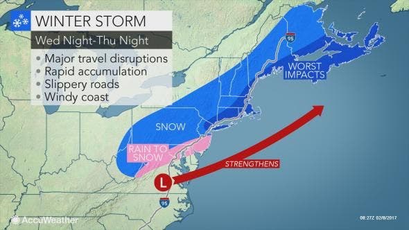
Map: AccuWeather.com.
Get more local news delivered straight to your inbox. Sign up for free Patch newsletters and alerts.