HUDSON VALLEY, NY — While the bitter cold is going to continue, meteorologists have dialed back the forecast for snow for the coming New Year’s weekend. That’s all well and good — if the forecast holds — for the ball drop in White Plains or in Times Square. But it’s going to be super cold around midnight, with the low in White Plains forecast to be around 6 degrees.
At this point, the National Weather Service is calling for the possibility of snow for the Poughkeepsie, New City and Middletown areas during the day Saturday. The chance of precipitation is 50 percent.
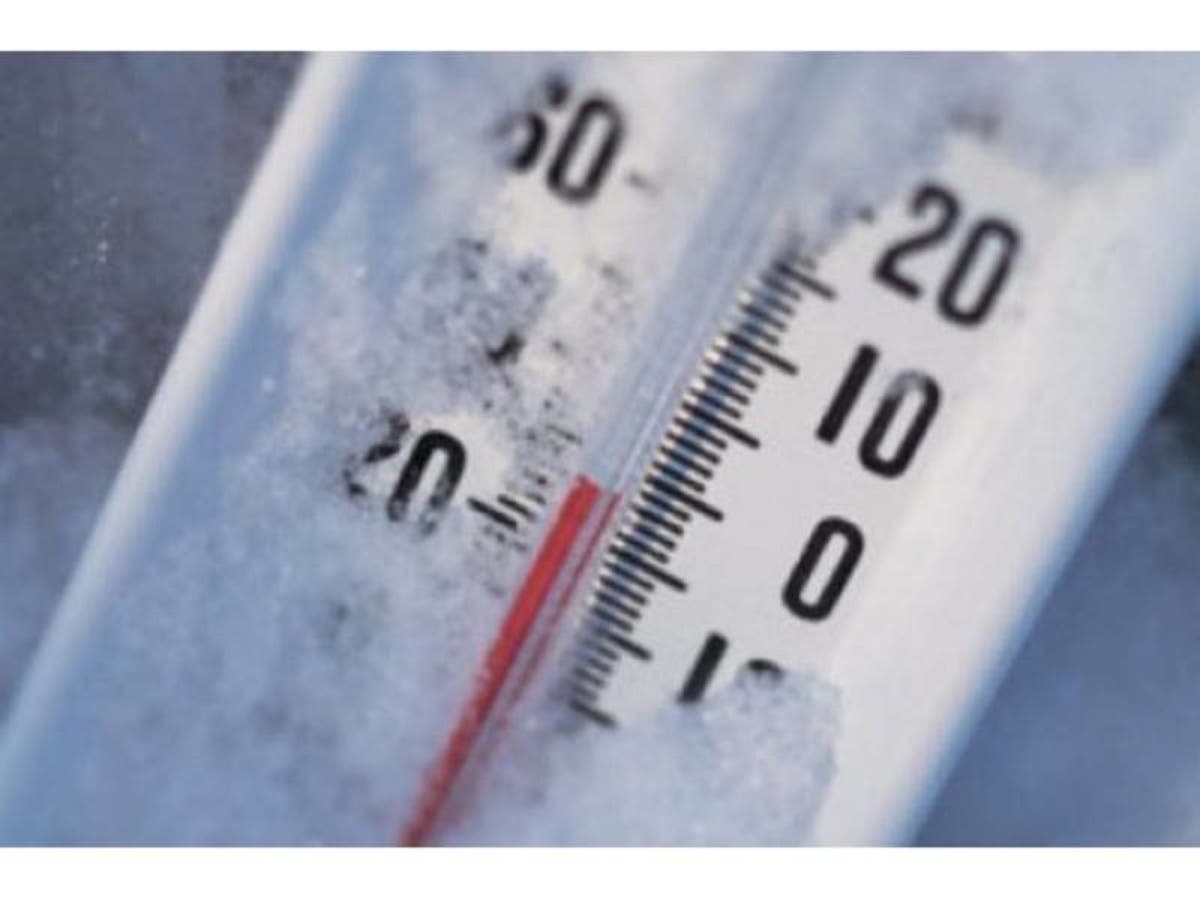
So for now, the real concern continues to be the cold air that is gripping the region.
Find out what's happening in New Rochellefor free with the latest updates from Patch.
Hazardous Weather Outlooks are in effect for the mid- and lower Hudson Valley.
The NWS said temperatures will average 15 to 20 degrees below normal. And the possibility for wind chill advisory cannot be ruled out.
Find out what's happening in New Rochellefor free with the latest updates from Patch.
Bottom line: Make sure your skin is covered if you have to be outside.
SEE ALSO:
Get more local news delivered straight to your inbox. Sign up for free Patch newsletters and alerts.