Home & Garden
Warmth, Clouds Persist: Weekend Weather
But maybe a winter storm next week for Nyack and Piermont!

The warm weather will persist through the weekend, forecasters say.
Click here for Nyack and Piermont’s in-depth weather forecast.
The National Weather Service offers this general forecast for Rockland County:
Find out what's happening in Nyack-Piermontfor free with the latest updates from Patch.
- Friday Night-Mostly cloudy with a 40 percent chance of rain. Lows in the lower 40s. Northeast winds around 5 mph.
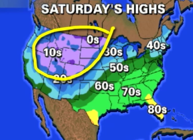
- Saturday-Cloudy with a 50 percent chance of rain. Highs around 50. Northeast winds 5 to 10 mph.
- Saturday Night-Cloudy with a 50 percent chance of rain. Lows in the mid 40s.
- Sunday-Mostly cloudy with a 30 percent chance of showers. Highs around 60.
- Sunday Night-Mostly cloudy with a 30 percent chance of rain showers. Lows in the mid 30s.
Then -- just to give you a heads-up -- five days after record-breaking temperatures, we could see our first winter storm.
“We’re watching the potential for our first accumulating snow this coming Tuesday,” says Bill Potter of Hudson Valley Weather. “How on earth is this possible? Well… the jet stream is very active right now, and in the wake of the storm this weekend, it could buckle just enough to allow some arctic air to filter into the Hudson Valley on Monday. Then… as soon as the arctic air settles in… a storm system could approach from the southwest and throw moisture over top of the cold air. If that happens… we could see a period of snow, mixing with sleet and freezing rain… ending as a plain cold rain.
Find out what's happening in Nyack-Piermontfor free with the latest updates from Patch.
“There are a lot of “ifs” here… with details being critically important. Likely most important, will be the exact location of the arctic high pressure, that will supply the cold blast of air.”
MAP: AccuWeather.com
Get more local news delivered straight to your inbox. Sign up for free Patch newsletters and alerts.

