Home & Garden
UPDATE: Remember That Thunderstorm Prediction?
Well this was true: the temperatures will be above average and the air quality will be poor.

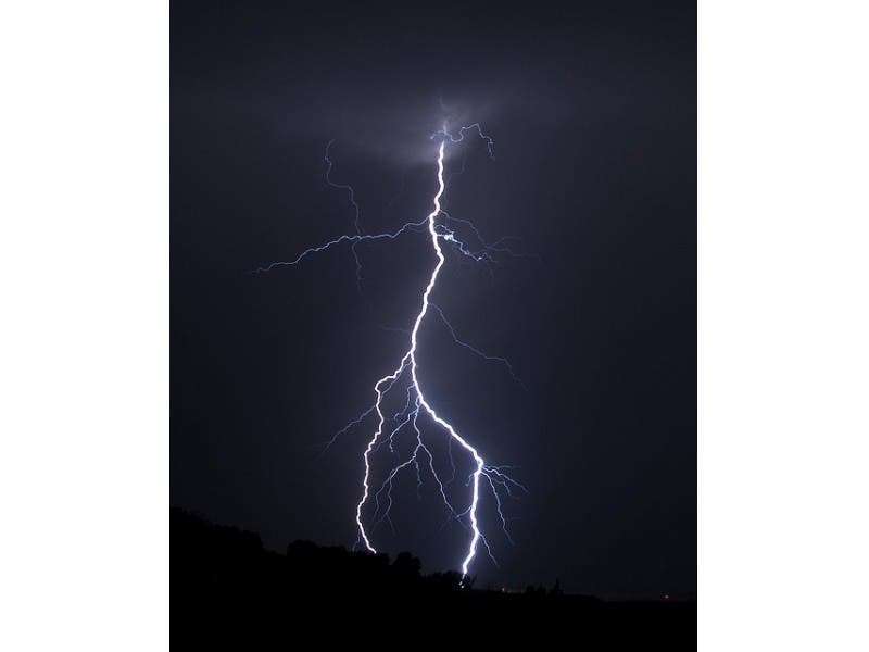
Updated at 5:47 p.m. on Thursday, June 11, 2015: Remember that storm that was supposed to be here sometime this afternoon and early evening? It’s not only late, but the National Weather Service, which had announced its pending arrival, now says the storm’s likely not coming at all.
In its late afternoon update, the National Weather Service says there is now only a “slight” chance of showers but otherwise you’ll be able to enjoy the sunny skies for the remainder of the evening. Temps will remain in the mid 80s.
Friday will be a nice sunny day with temps in the 80s, and thunderstorms possible on Saturday.
Find out what's happening in Nyack-Piermontfor free with the latest updates from Patch.
--------------------------------------------------------------------
The National Weather Service has added another notice:
Find out what's happening in Nyack-Piermontfor free with the latest updates from Patch.
A cold front is moving slowly through the area, bringing with it the potential for strong to severe thunderstorms.
Isolated storms could start before 4 p.m. and be through the area by 8 p.m.
The main threat is damaging winds and a slight chance of flash flooding. The best chance for the strongest storms is to the north and west.
“Much of the area will be right around 90°… which is around 10 degrees above average for this time of year,” said Bill Potter of Hudson Valley Weather.
Get more local news delivered straight to your inbox. Sign up for free Patch newsletters and alerts.

