Home & Garden
Work Week Weather: Warm and (Mostly) Dry
Despite some showers and thunderstorms to start off, this should be another week with below-normal rainfall in Pearl River.

The summer-like feel of our past weekend will continue into mid-week, and then temperatures will moderate for a few days.
It will be warm and humid on Monday into Tuesday, or very similar to July, according to AccuWeather.com. Highs will be well into the 80s. Expect some minimal showers and thunderstorms connected to the tropical storm lashing South Carolina.
“While areas close to the track of Ana and just ahead of the front coming could have enhanced thunderstorms and rainfall, immediately west of Ana there may be a zone where it rains very little and stays relatively sunny,” said AccuWeather.com Senior Meteorologist Dave Dombek.
Find out what's happening in Nyack-Piermontfor free with the latest updates from Patch.
There will also be long breaks of rain-free weather in between the downpours.
“We will see a cold front push through the Hudson Valley on Tuesday… but even that appears to have minimal rainfall associated with it,” said Bill Potter of Hudson Valley Weather. “ In fact… it’s entirely possible that some parts of the area get into the middle of next week without seeing much (if any) measurable rain.”
Find out what's happening in Nyack-Piermontfor free with the latest updates from Patch.
Here’s the forecast from the National Weather Service for Rockland County:
- Today-Partly sunny. Highs in the lower 80s. South winds 10 to 15 mph.
- Tonight-Mostly cloudy. Patchy fog after midnight. Lows in the mid 60s. South winds 5 to 10 mph. Gusts up to 20 mph the evening.
- Tuesday-Cloudy with a slight chance of showers and thunderstorms in the morning...then partly sunny with a chance of showers and thunderstorms in the afternoon. Patchy fog in the morning. Highs in the mid 80s. Southwest winds 10 to 15 mph. Gusts up to 30 mph in the afternoon. Chance of rain 30 percent.
- Tuesday Night-Partly cloudy with a slight chance of showers and thunderstorms in the evening...then mostly clear after midnight. Less humid with lows in the lower 50s. Northwest winds 10 to 15 mph with gusts up to 25 mph. Chance of rain 20 percent.
- Wednesday-Mostly sunny and windy. Much cooler with highs in the mid 60s. Northwest winds 15 to 25 mph with gusts up to 35 mph.
- Wednesday Night-Partly cloudy in the evening...then becoming mostly clear. Breezy with lows in the lower 40s.
- Thursday-Sunny. Highs in the upper 60s.
- Thursday Night-Mostly clear. Lows in the upper 40s.
- Friday-Mostly sunny. Highs in the lower 70s.
- Friday Night-Mostly cloudy. A chance of showers after midnight. Lows in the lower 50s. Chance of rain 30 percent.
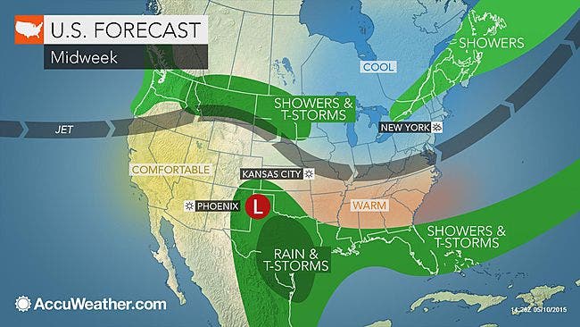
MAP: AccuWeather.com
Get more local news delivered straight to your inbox. Sign up for free Patch newsletters and alerts.

