Weather
Wednesday Nor'Easter Ending Overnight In The Hudson Valley
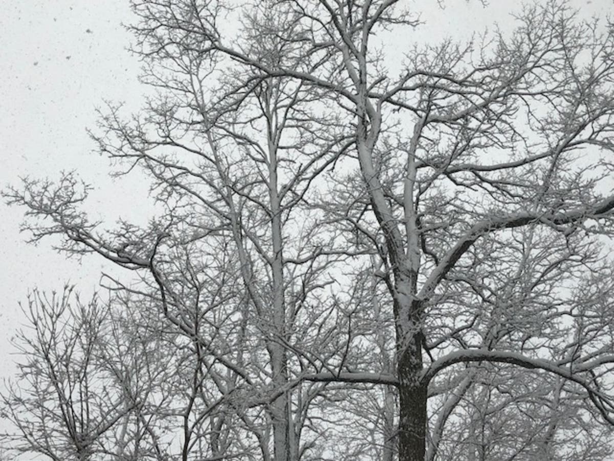
Still, more snow could accumulate after 9 p.m.

The National Weather Service's Winter Storm Warning for most of the Hudson Valley is in effect until 4 a.m. Thursday. However, most of the snow should have left the region before that.
"The storm is now gradually pulling to the east, as it does it will pull the western edge of its precipitation shield with it," said Hudson Valley Weather.
The snow will moderate after 9 p.m., and then drop off more at 2 a.m. Scattered flurries after that, and gradual clearing. High temperatures Thursday will reach for the low 40s.
Find out what's happening in Ossining-Croton-On-Hudsonfor free with the latest updates from Patch.
Still, another three inches is possible between 9 p.m. and 3 a.m., the NWS said.
"Despite winds set to buffet the beaches, coastal flooding is not likely to be as severe as during the bomb cyclone," said Kristina Pydynowski, AccuWeather senior meteorologist. "The quick pace of the storm should limit any issues to minor problems for one or two high tides, especially in areas that suffered beach erosion the past few days."
Find out what's happening in Ossining-Croton-On-Hudsonfor free with the latest updates from Patch.
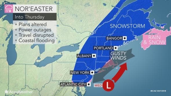
Image via AccuWeather.com
SEE ALSO:
Get more local news delivered straight to your inbox. Sign up for free Patch newsletters and alerts.


