Weather
Final Town-by-Town Snow Totals For The Hudson Valley
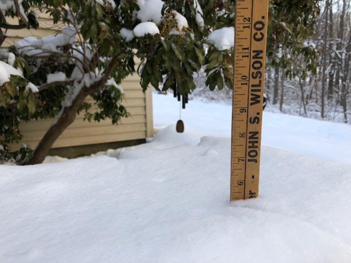
The National Weather Service issued final accumulation data for the March 21-22 storm.

As Hudson Valley Weather predicted, the wild card in Thursday's storm was dry air that kept evaporating the snow before it hit the ground. In some places the radar showed it snowing for 10 hours before we began to see it, HVW reported.
Long Island was the hardest hit part of the NYC metro area, according to the National Weather Service. The most snow reported was in Patchogue, which got 20 inches. Central Park got 8.4 inches of snow. The most snow reported in the Hudson Valley was in Harrison: 9.5 inches.
Here are the local snow totals from the NWS:
Find out what's happening in Ossining-Croton-On-Hudsonfor free with the latest updates from Patch.
Orange County
- Monroe 7.0 inches as of 3:45 AM 3/22
- Salisbury Mills 5.2 400 AM 3/22
- Gardnertown 5.0 830 AM 3/22
- Mount Hope 0.5 800 AM 3/22
Putnam County
Find out what's happening in Ossining-Croton-On-Hudsonfor free with the latest updates from Patch.
- Brewster 4.6 430 AM 3/22
- Mahopac 4.3 715 AM 3/22
- Carmel 3.5 800 AM 3/22
Rockland County
- Sloatsburg 5.5 708 AM 3/22
- Stony Point 3.7 545 AM 3/22
Westchester County
- Harrison 9.5 1100 PM 3/21
- Yonkers 8.0 700 AM 3/22
- Tarrytown 7.8 847 AM 3/22
- Ardsley 7.7 643 AM 3/22
- White Plains 7.0 630 AM 3/22
- Armonk 6.8 700 AM 3/22
- Croton-on-Hudson 3.9 630 AM 3/22
- Somers 2.3 1125 PM 3/21
Did you know you can help the National Weather Service by submitting snow total reports? Click here to learn how.
SEE ALSO: Suspicious Fire; Food Bank's New Name; Arrested Again on I-84
Get more local news delivered straight to your inbox. Sign up for free Patch newsletters and alerts.