Weather
Hazardous Weather Outlook for Hudson Valley Thursday
Thunderstorms and strong winds could come through the region.

If you thought the humidity was high Wednesday wait and see how Thursday feels.
And as a bonus, the entire Hudson Valley is under Hazardous Weather Outlooks.
Find out what's happening in Pelhamfor free with the latest updates from Patch.
For Orange, Putnam, Rockland and Westchester counties, the National Weather Service said a few thunderstorms late Thursday could produce strong wind gusts.
For Ulster and Dutchess counties, the NWS said numerous showers and thunderstorms are expected Thursday afternoon into the early evening. There is a slight risk that that the storms could become severe with damaging winds.
Find out what's happening in Pelhamfor free with the latest updates from Patch.
Locally heavy rainfall could occur resulting in minor urban flooding.
Otherwise the forecast calls for mostly cloudy skies with the temperatures reaching to the mid-80s in the lower Hudson Valley and 90 in the Mid-Hudson Valley.
High humidity will make the temperatures feel warmer.
Friday’s outlook improves with mostly sunny skies and highs in the low-90s. There is also a slight chance of thunderstorms in the northern parts of the region.
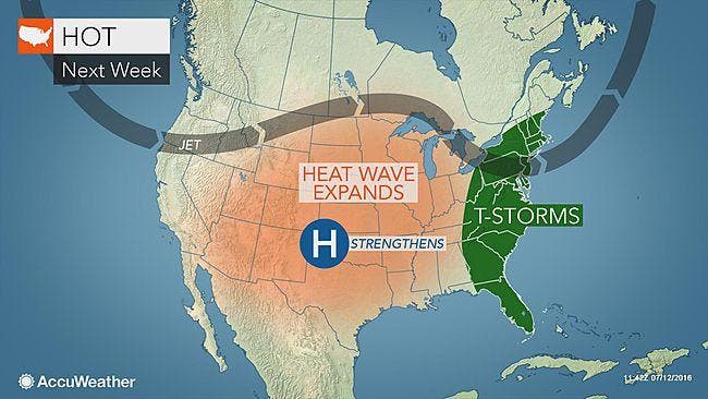
Map: AccuWeather.com
Get more local news delivered straight to your inbox. Sign up for free Patch newsletters and alerts.